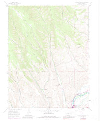
1954 Map of Mc Intosh Mountain
USGS Topo · Published 1983About this map
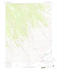
Harris Hereford Ranch and Steuben Ranch sit along the drainage of Beaver Creek, anchoring a landscape of high-country ranching and mid-century recreation. While the northern half of the map is dominated by the topography of Mc Intosh Mountain and the Gunnison National Forest, the southern edge reveals the influence of the Gunnison River. This area represents a point of change in the early 1970s, as the development of the reservoir system began to alter the river valley. The map documents early-stage water management with Blue Mesa Reservoir South and local tourist interests at Neversink Resort and Coopers Resort. Numerous named gulches, such as Reed Gulch and Mc Kinley Gulch, descend from the ridges toward Sun Park, illustrating the complex watershed that historically supported the high-altitude cattle operations of Steinbergen Ranch and its neighbors.
Find a feature on this map
25 named features on this map. Tap any name to fly to it.
Don’t see what you’re looking for? This feature index may not catch every label — zoom into the map to look around manually.
Map Details
Editions of this 1954 Mc Intosh Mountain Map
8 editions found
Other maps of this area

1908 · Uncompahgre
USGS Topo · 1:125,000

1911 · Uncompahgre
USGS Topo · 1:125,000

1954 · Iris NW
USGS Topo · 1:24,000

1954 · Iola
USGS Topo · 1:24,000

1954 · Mc Intosh Mountain
USGS Topo · 1:24,000

1954 · West Elk Peak SW
USGS Topo · 1:24,000

1954 · Gunnison
USGS Topo · 1:24,000

1954 · Cebolla
USGS Topo · 1:24,000

1956 · Montrose
USGS Topo · 1:250,000

1959 · Montrose
USGS Topo · 1:250,000