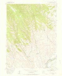
1954 Map of Mc Intosh Mountain
USGS Topo · Published 1955About this map
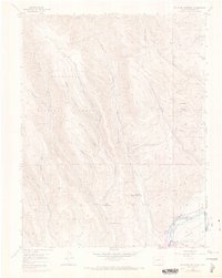
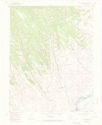
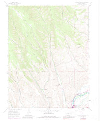
Mc Intosh Mountain dominates this portion of the Gunnison National Forest as it appeared in the mid-1950s. The landscape is defined by a series of steep drainages, including Steuben Creek, Beaver Creek, and several named gulches like Black Gulch and Tommy Long Gulch. Human activity is concentrated in the lower elevations near the Gunnison River, where ranching and recreational sites are situated. Notable family properties include the Harris Hereford Ranch, Steuben Ranch, and Steinberger Ranch, which anchor the local agricultural history. Further downstream, the presence of the Neversink Resort and Coopers Resort indicates the area's mid-century role as a fishing and getaway destination. An Abandoned railroad grade following the river corridor and the Willow Creek Ditch highlight the early infrastructure required for transport and irrigation in this high-altitude environment.
Find a feature on this map
24 named features on this map. Tap any name to fly to it.
Don’t see what you’re looking for? This feature index may not catch every label — zoom into the map to look around manually.
Map Details
Editions of this 1954 Mc Intosh Mountain Map
8 editions found
Other maps of this area

1908 · Uncompahgre
USGS Topo · 1:125,000

1911 · Uncompahgre
USGS Topo · 1:125,000

1954 · Iris NW
USGS Topo · 1:24,000

1954 · Iola
USGS Topo · 1:24,000

1954 · Mc Intosh Mountain
USGS Topo · 1:24,000

1954 · West Elk Peak SW
USGS Topo · 1:24,000

1954 · Gunnison
USGS Topo · 1:24,000

1954 · Cebolla
USGS Topo · 1:24,000

1956 · Montrose
USGS Topo · 1:250,000

1959 · Montrose
USGS Topo · 1:250,000