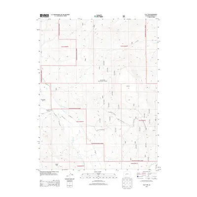
2013 Map of Flat Top
USGS Topo · Published 2013About this map
Gunnison National Forest land dominates this high-altitude survey, defined by its complex network of water management features and rugged drainage systems. The landscape is characterized by the prominent Flat Top plateau and numerous deep incisions such as Cunningham Gulch and Maggie Gulch. Water rights and irrigation history are evident through the presence of the Teachout Ditch, Lone Pine Ditch, and the larger Gunnison Highline Canal to the south. These artificial waterways intersect with natural streams like Ohio Cr and Alkali Cr, illustrating the intensive effort to redirect mountain runoff for lower-elevation use. Remote access into the high country is provided by specialized routes such as the Flattop Jeep Trail 9863.0 and Flattop Bench Trail 9863.2A, which navigate the steep gradients of the Gunnison basin.
Find a feature on this map
30 named features on this map. Tap any name to fly to it.
Don’t see what you’re looking for? This feature index may not catch every label — zoom into the map to look around manually.
Map Details
Editions of this 2013 Flat Top Map
This is the sole edition of this map. No revisions or reprints were ever made.
Other maps of this area

1888 · Crested Butte
USGS Topo · 1:62,500

1888 · Anthracite
USGS Topo · 1:62,500

1889 · Crested Butte
USGS Topo · 1:62,500

1889 · Anthracite
USGS Topo · 1:62,500

1893 · Anthracite
USGS Topo · 1:62,500

1893 · Crested Butte
USGS Topo · 1:62,500

1894 · Anthracite
USGS Topo · 1:62,500

1954 · Mc Intosh Mountain
USGS Topo · 1:24,000

1954 · Gunnison
USGS Topo · 1:24,000

1956 · Montrose
USGS Topo · 1:250,000