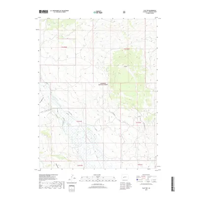
2019 Map of Flat Top
USGS Topo · Published 2019About this map
Gunnison National Forest dominates this landscape, where the high-altitude terrain of Flat Top and the Flattop Bench define the local topography. This 2019 survey captures an intricate network of water management features essential to the region's high-country ranching and agriculture, including the Campbell Ditch, Peachout Ditch, and the Lone Pine Ditch. These man-made channels divert water from natural sources like Ohio Cr and Alkali Cr to sustain the lower meadows. The drainage patterns are further marked by deep cuts such as Cunningham Gulch and Maggie Gulch, which channel snowmelt toward Antelope Cr. The map details a transition from forest service land to private parcels, navigated by a system of rural routes including Co RD 730 and specialized paths like Eagle Trail Rd and the Flattop Branch 2E.
Find a feature on this map
29 named features on this map. Tap any name to fly to it.
Don’t see what you’re looking for? This feature index may not catch every label — zoom into the map to look around manually.
Map Details
Editions of this 2019 Flat Top Map
This is the sole edition of this map. No revisions or reprints were ever made.
Other maps of this area

1888 · Crested Butte
USGS Topo · 1:62,500

1888 · Anthracite
USGS Topo · 1:62,500

1889 · Crested Butte
USGS Topo · 1:62,500

1889 · Anthracite
USGS Topo · 1:62,500

1893 · Anthracite
USGS Topo · 1:62,500

1893 · Crested Butte
USGS Topo · 1:62,500

1894 · Anthracite
USGS Topo · 1:62,500

1954 · Mc Intosh Mountain
USGS Topo · 1:24,000

1954 · Gunnison
USGS Topo · 1:24,000

1956 · Montrose
USGS Topo · 1:250,000