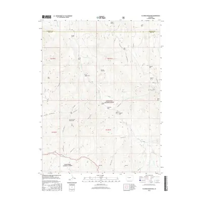
2016 Map of Flatiron Mountain
USGS Topo · Published 2016About this map
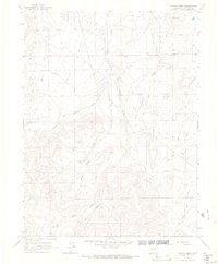
Flatiron Mountain and the high ridges of the White River National Forest dominate this 2016 survey along the Garfield and Mesa County line. The landscape is defined by an intricate network of drainage systems and high peaks, including Uncle Bob Mtn, Baldy Mtn, and Flagpole Mtn. While largely high-altitude wilderness, the map reveals modern resource extraction through several labeled sites like Well #24 and Well #19 located near Coal Ridge. For those tracing local history or geography, the map details numerous gulches and trails, such as the Cayton Gulch Trail and Reno Gulch Trail, which navigate the steep terrain between Mosquito Lake and the Grand Mesa National Forest to the south. The presence of the Highline Ditch in the northwest corner highlights the engineering required to manage water in this arid mountain environment.
Find a feature on this map
53 named features on this map. Tap any name to fly to it.
Don’t see what you’re looking for? This feature index may not catch every label — zoom into the map to look around manually.
Map Details
Editions of this 2016 Flatiron Mountain Map
This is the sole edition of this map. No revisions or reprints were ever made.
Other maps of this area

1957 · Leadville
USGS Topo · 1:250,000

1959 · Leadville
USGS Topo · 1:250,000

1960 · Leadville
USGS Topo · 1:250,000

1961 · Porter Mountain
USGS Topo · 1:24,000

1961 · Spruce Mountain
USGS Topo · 1:24,000

1962 · Leadville
USGS Topo · 1:250,000
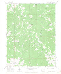
1963 · Flatiron Mountain
USGS Topo · 1:24,000
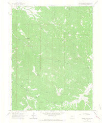
1963 · Center Mountain
USGS Topo · 1:24,000
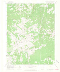
1963 · Hightower Mountain
USGS Topo · 1:24,000
1963 · Hunter Mesa
USGS Topo · 1:24,000