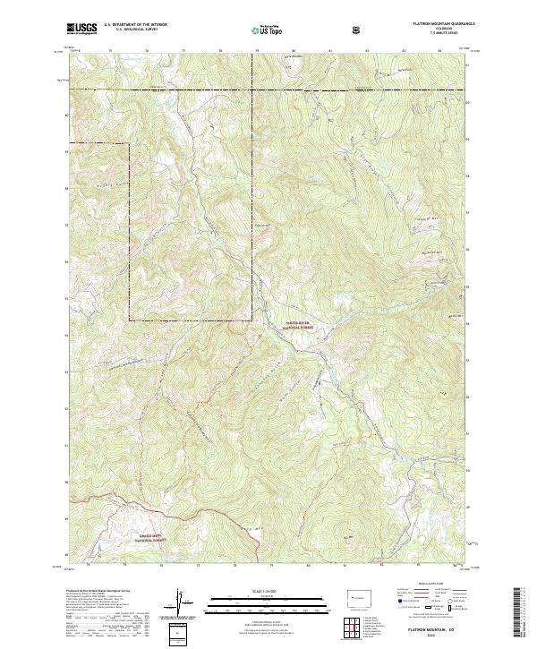
2022 Map of Flatiron Mountain
USGS Topo · Published 2022About this map
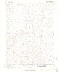
White River National Forest and Grand Mesa National Forest meet in this high-altitude landscape defined by steep drainage systems and prominent summits. The divide between Garfield Co and Mesa Co traverses the northern portion of the map, cutting through Uncle Bob Mtn and Horse Park. This area is shaped by its hydrology, with numerous gulches including Lake Fork Little Muddy Gulch and Cayton Gulch feeding into larger systems like W Divide Cr.
Find a feature on this map
56 named features on this map. Tap any name to fly to it.
Don’t see what you’re looking for? This feature index may not catch every label — zoom into the map to look around manually.
Map Details
Editions of this 2022 Flatiron Mountain Map
This is the sole edition of this map. No revisions or reprints were ever made.
Other maps of this area

1957 · Leadville
USGS Topo · 1:250,000

1959 · Leadville
USGS Topo · 1:250,000

1960 · Leadville
USGS Topo · 1:250,000

1961 · Porter Mountain
USGS Topo · 1:24,000

1961 · Spruce Mountain
USGS Topo · 1:24,000

1962 · Leadville
USGS Topo · 1:250,000
1963 · Flatiron Mountain
USGS Topo · 1:24,000
1963 · Center Mountain
USGS Topo · 1:24,000
1963 · Hightower Mountain
USGS Topo · 1:24,000
1963 · Hunter Mesa
USGS Topo · 1:24,000