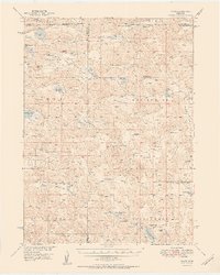
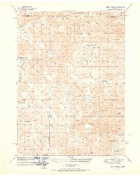
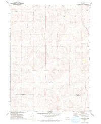
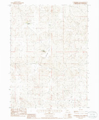
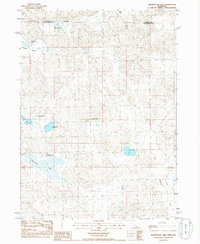
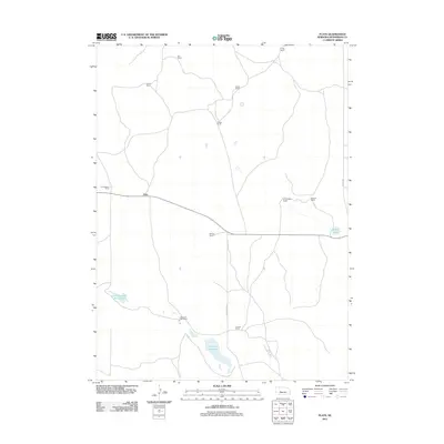
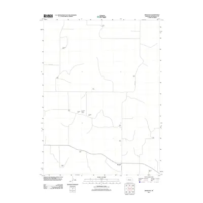
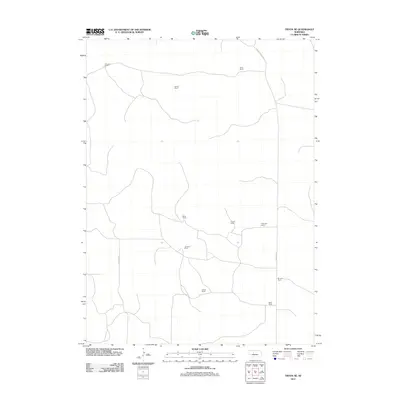
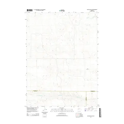
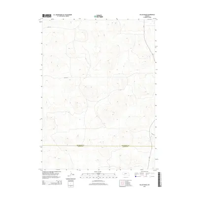
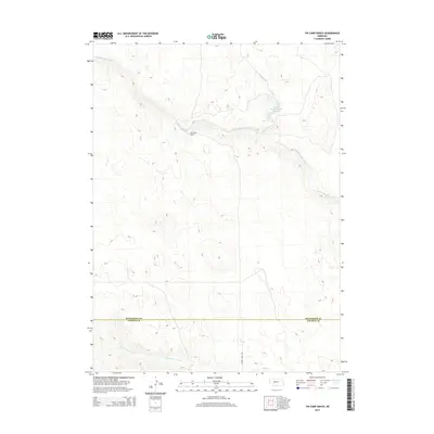
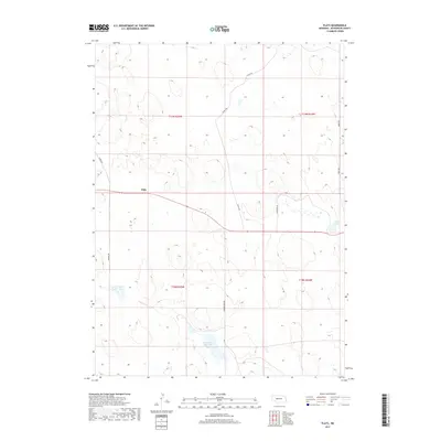
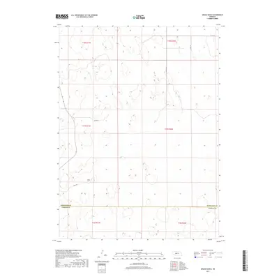
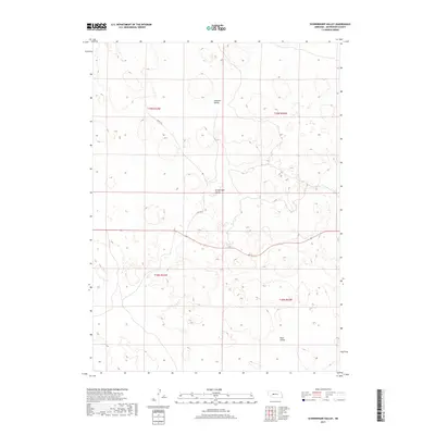
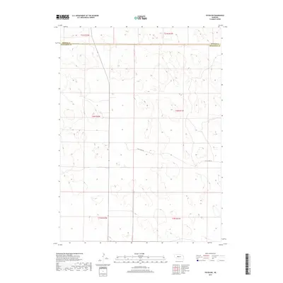
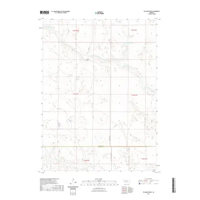
1950 Map of Flats
USGS Topo · Published 1950About this map
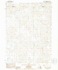
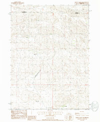
Isolated ranches and small rural schools define the character of this mid-century Sandhills landscape, mapped as part of a post-war effort for the development of the Missouri River Basin. The settlement at Flats and the nearby Lena serve as anchors for a vast ranching network that includes the Bassett Ranch, J Daly Ranch, and Diamond Bar Ranch. The distribution of scattered education centers, such as Prairie Dale Sch and Center Valley Sch, alongside the Center Valley Ch, illustrates the infrastructure required to support a sparse, wide-ranging population across the undulating terrain.
Find a feature on this map
50 named features on this map. Tap any name to fly to it.
Don’t see what you’re looking for? This feature index may not catch every label — zoom into the map to look around manually.
Map Details
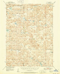
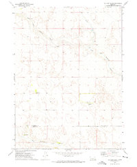
Editions of this 1950 Flats Map
2 editions found
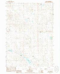
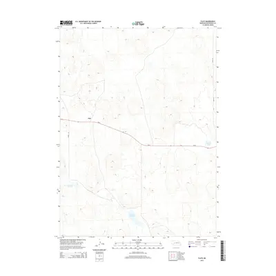
Historical Maps of Flats Through Time
75 maps found
1949 Flats
McPherson County, NE
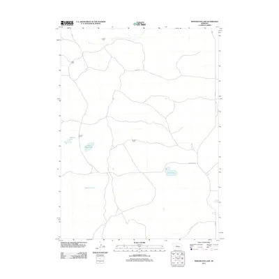
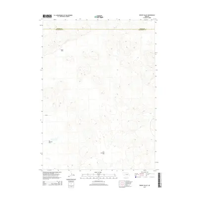
1949 Wright Valley
McPherson County, NE
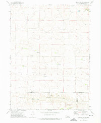
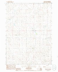
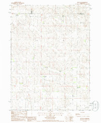
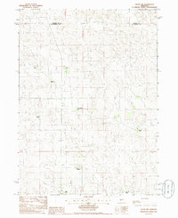
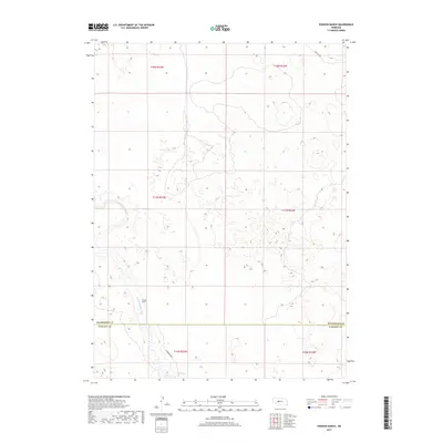
1950 Flats
McPherson County, NE
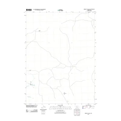
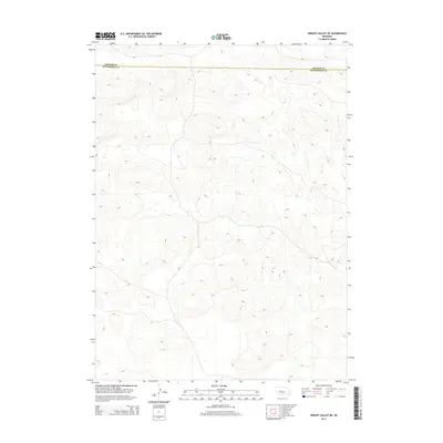
1951 Wright Valley
McPherson County, NE
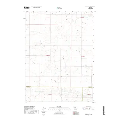
1972 Big Bald Hill NE
McPherson County, NE
1972 Gragg Ranch
McPherson County, NE
1972 Pierson Ranch
McPherson County, NE
1972 Pullen Ranch
McPherson County, NE
1972 Tin Camp Ranch
McPherson County, NE
1985 Flats
McPherson County, NE
1985 Ringgold
McPherson County, NE
1985 Schneringer Valley
McPherson County, NE
1985 Snyder Lake
McPherson County, NE
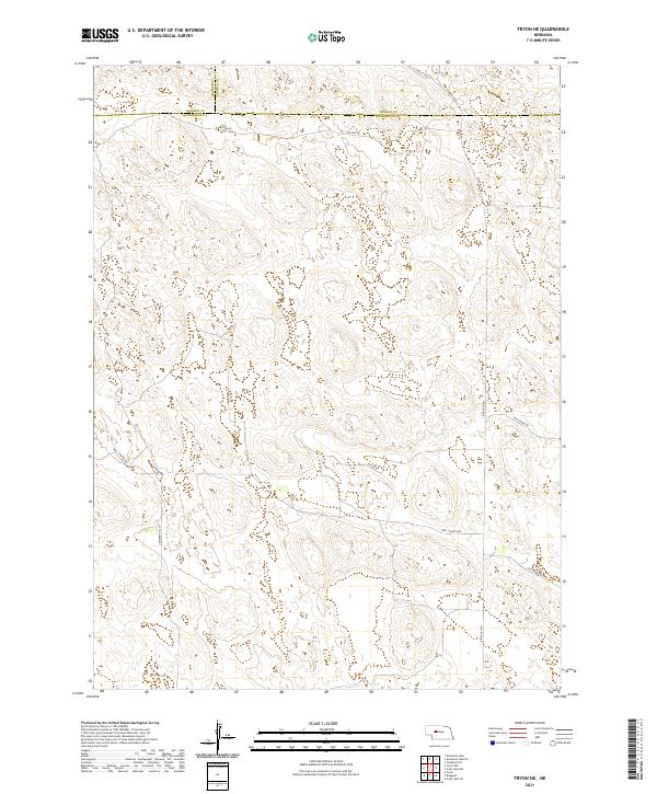
1985 Tryon NE
McPherson County, NE
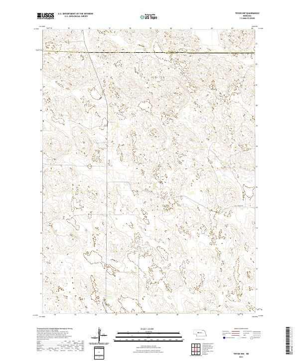
1985 Tryon NW
McPherson County, NE
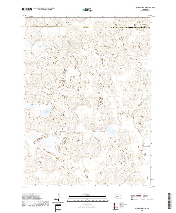
1985 Whitewater Lake
McPherson County, NE
1985 Wright Valley
McPherson County, NE
1985 Wright Valley NE
McPherson County, NE
2011 Big Bald Hill NE
McPherson County, NE
2011 Flats
McPherson County, NE
2011 Gragg Ranch
McPherson County, NE
2011 Pierson Ranch
McPherson County, NE
2011 Pullen Ranch
McPherson County, NE
2011 Ringgold
McPherson County, NE
2011 Schneringer Valley
McPherson County, NE
2011 Snyder Lake
McPherson County, NE
2011 Tin Camp Ranch
McPherson County, NE
2011 Tryon NE
McPherson County, NE

2011 Tryon NW
McPherson County, NE
2011 Whitewater Lake
McPherson County, NE
2011 Wright Valley
McPherson County, NE
2011 Wright Valley NE
McPherson County, NE
2014 Big Bald Hill NE
McPherson County, NE
2014 Flats
McPherson County, NE
2014 Gragg Ranch
McPherson County, NE
2014 Pierson Ranch
McPherson County, NE
2014 Pullen Ranch
McPherson County, NE
2014 Ringgold
McPherson County, NE
2014 Schneringer Valley
McPherson County, NE
2014 Snyder Lake
McPherson County, NE
2014 Tin Camp Ranch
McPherson County, NE
2014 Tryon NE
McPherson County, NE
2014 Tryon NW
McPherson County, NE
2014 Whitewater Lake
McPherson County, NE
2014 Wright Valley
McPherson County, NE
2014 Wright Valley NE
McPherson County, NE
2017 Big Bald Hill NE
McPherson County, NE
2017 Flats
McPherson County, NE
2017 Gragg Ranch
McPherson County, NE
2017 Pierson Ranch
McPherson County, NE
2017 Pullen Ranch
McPherson County, NE
2017 Ringgold
McPherson County, NE
2017 Schneringer Valley
McPherson County, NE
2017 Snyder Lake
McPherson County, NE
2017 Tin Camp Ranch
McPherson County, NE
2017 Tryon NE
McPherson County, NE
2017 Tryon NW
McPherson County, NE
2017 Whitewater Lake
McPherson County, NE
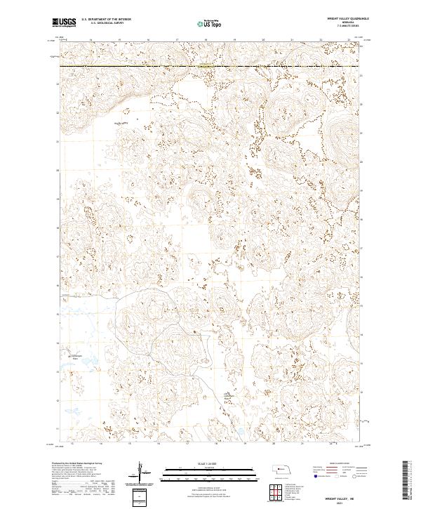
2017 Wright Valley
McPherson County, NE
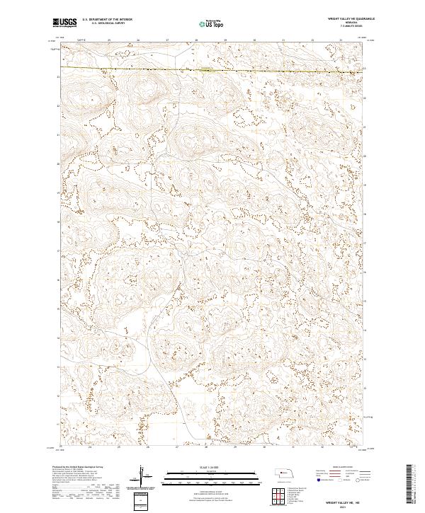
2017 Wright Valley NE
McPherson County, NE
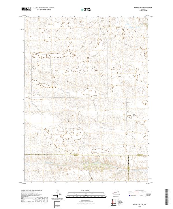
2021 Big Bald Hill NE
McPherson County, NE
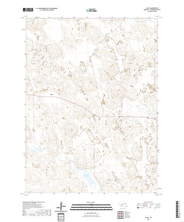
2021 Flats
McPherson County, NE
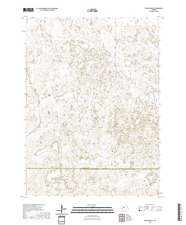
2021 Gragg Ranch
McPherson County, NE
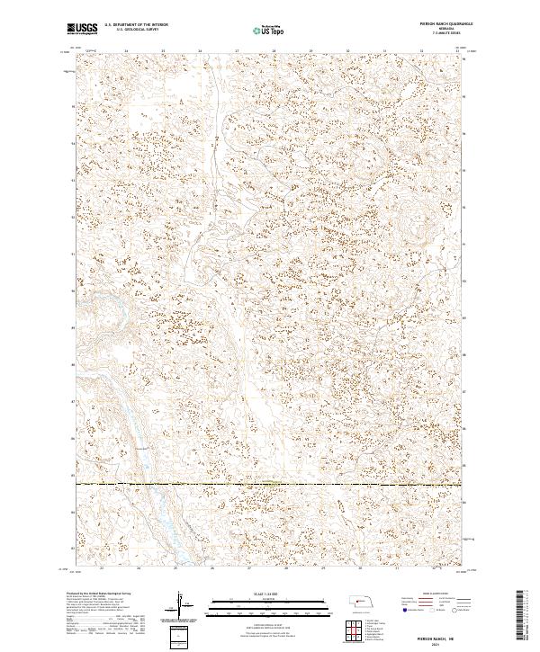
2021 Pierson Ranch
McPherson County, NE
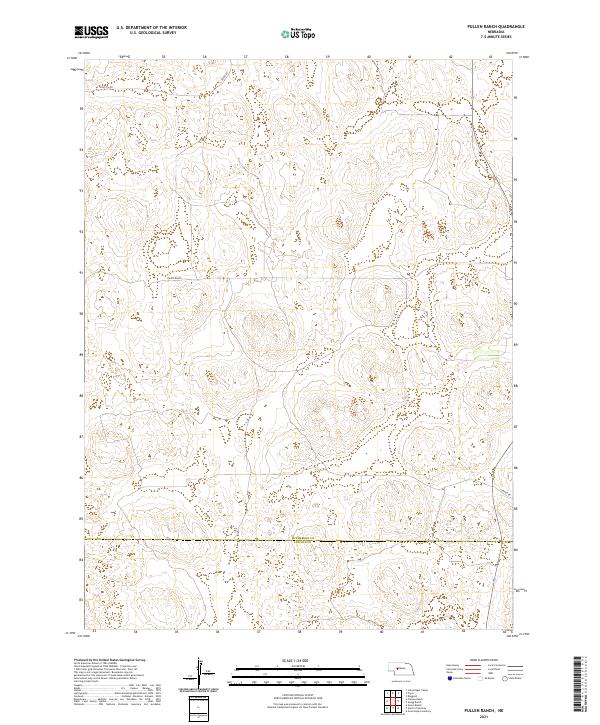
2021 Pullen Ranch
McPherson County, NE
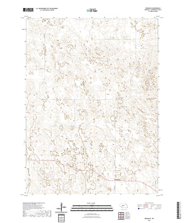
2021 Ringgold
McPherson County, NE
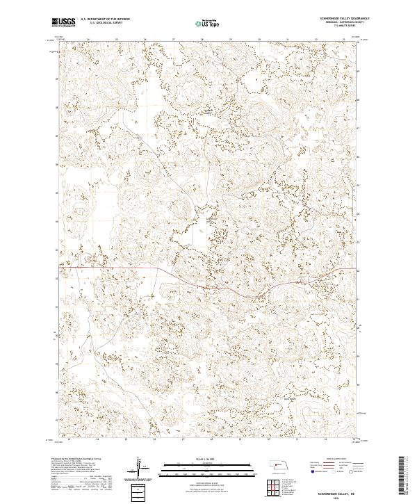
2021 Schneringer Valley
McPherson County, NE
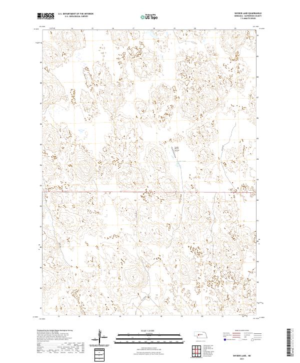
2021 Snyder Lake
McPherson County, NE
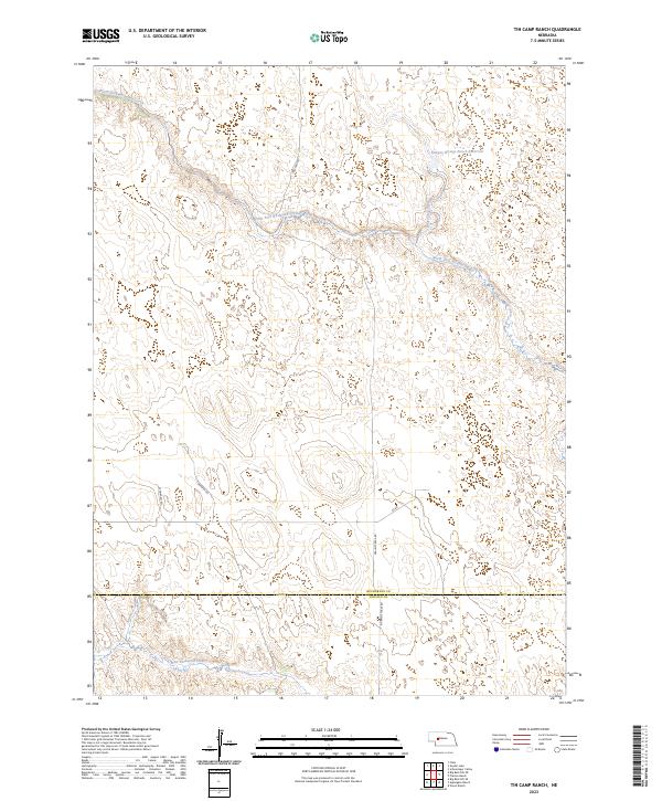
2021 Tin Camp Ranch
McPherson County, NE
2021 Tryon NE
McPherson County, NE
2021 Tryon NW
McPherson County, NE
2021 Whitewater Lake
McPherson County, NE
2021 Wright Valley
McPherson County, NE
2021 Wright Valley NE
McPherson County, NE
2023 Tin Camp Ranch
McPherson County, NE