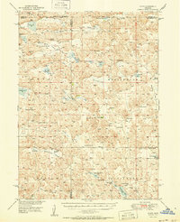
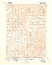
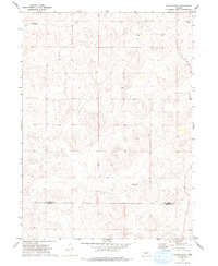
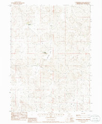
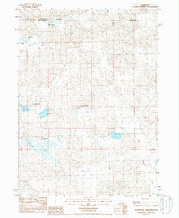
1950 Map of Flats
USGS Topo · Published 1950This historical map portrays the area of Flats in 1950, primarily covering McPherson County as well as portions of Grant County, Hooker County, and Arthur County. Featuring a scale of 1:62500, this map provides a highly detailed snapshot of the terrain, roads, buildings, counties, and historical landmarks in the Flats region at the time. Published in 1950, it is one of 2 known editions of this map due to revisions or reprints.
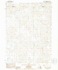
Map Details
Editions of this 1950 Flats Map
2 editions found
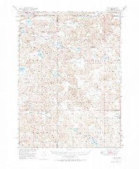
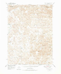
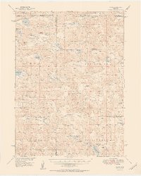
Historical Maps of Hooker County Through Time
18 maps found
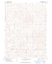
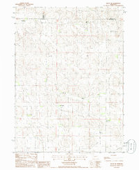
1949 Flats
McPherson County, NE
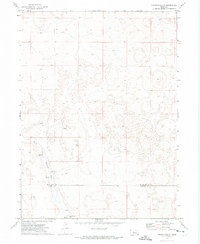
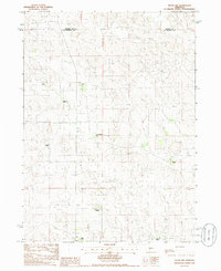
1949 Wright Valley
McPherson County, NE
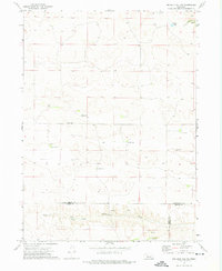
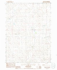
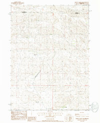
1950 Flats
McPherson County, NE
1951 Wright Valley
McPherson County, NE
1972 Big Bald Hill NE
McPherson County, NE
1972 Gragg Ranch
McPherson County, NE
1972 Pierson Ranch
McPherson County, NE
1972 Pullen Ranch
McPherson County, NE
1972 Tin Camp Ranch
McPherson County, NE
1985 Flats
McPherson County, NE
1985 Ringgold
McPherson County, NE
1985 Schneringer Valley
McPherson County, NE
1985 Snyder Lake
McPherson County, NE
1985 Tryon NE
McPherson County, NE
1985 Tryon NW
McPherson County, NE
1985 Whitewater Lake
McPherson County, NE
1985 Wright Valley
McPherson County, NE
1985 Wright Valley NE
McPherson County, NE