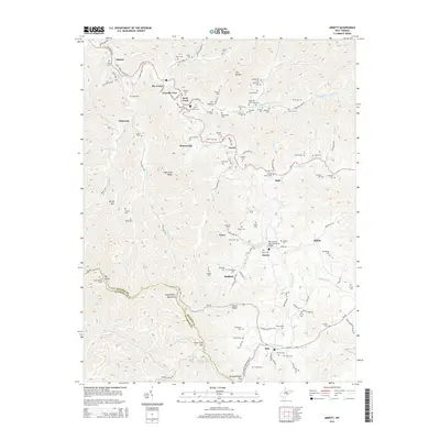
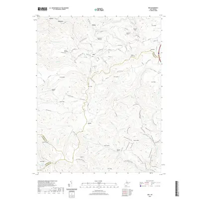
1914 Map of Flattop
USGS Topo · Published 1930About this map
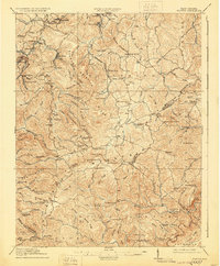
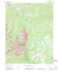
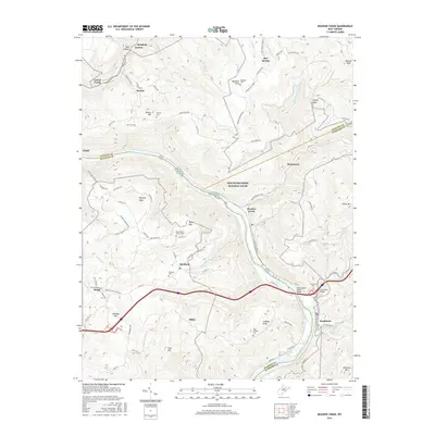
Guyandot Mountain and the high ridges of southern West Virginia define the landscape of this 1911 survey, a time when the region's coal and timber potential was being realized through an expanding rail network. The Virginian Ry and Virginia and Ohio RR snake through the narrow valleys, connecting mining settlements like Winding Gulf and Affinity to larger markets. This map provides an exceptional record of the rural social infrastructure of the era, documenting dozens of neighborhood schools such as the uniquely named Long Wanted School, Lilly School, and Hatcher School. These institutions, alongside the Spangler Factory near Craborchard, illustrate a transition from purely subsistence farming toward a diversified industrial economy. The topography is meticulously detailed, tracing the headwaters of the Guyan River and the complex drainage of Piney Creek across the Raleigh Co Mercer Co border.
Find a feature on this map
117 named features on this map. Tap any name to fly to it.
Don’t see what you’re looking for? This feature index may not catch every label — zoom into the map to look around manually.
Map Details
Editions of this 1914 Flattop Map
2 editions found
Historical Maps of Sophia Through Time
24 maps found

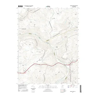
1911 Flattop
Raleigh County, WV

1911 Marshes
Raleigh County, WV
1914 Flattop
Raleigh County, WV
1929 Flattop
Raleigh County, WV
1932 Flattop
Raleigh County, WV
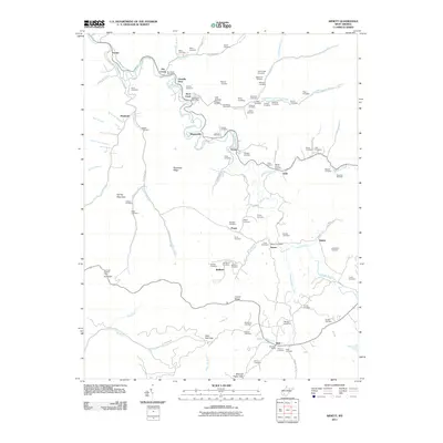
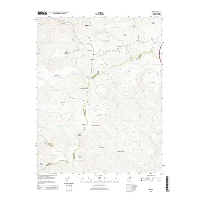
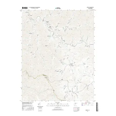
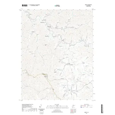
1964 Arnett
Raleigh County, WV
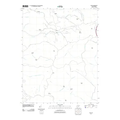
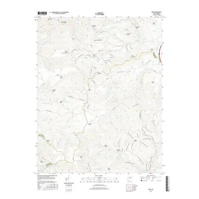
1968 Odd
Raleigh County, WV
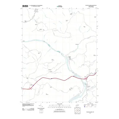
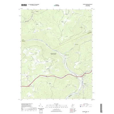
1969 Meadow Creek
Raleigh County, WV
1996 Meadow Creek
Raleigh County, WV
2011 Arnett
Raleigh County, WV
2011 Meadow Creek
Raleigh County, WV
2011 Odd
Raleigh County, WV
2014 Arnett
Raleigh County, WV
2014 Meadow Creek
Raleigh County, WV
2014 Odd
Raleigh County, WV
2016 Arnett
Raleigh County, WV
2016 Meadow Creek
Raleigh County, WV
2016 Odd
Raleigh County, WV
2019 Arnett
Raleigh County, WV
2019 Meadow Creek
Raleigh County, WV
2019 Odd
Raleigh County, WV
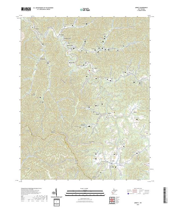
2023 Arnett
Raleigh County, WV
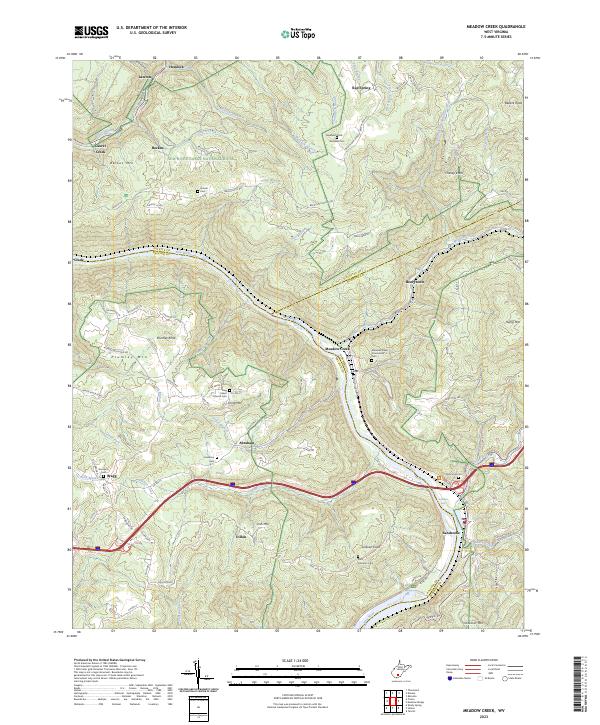
2023 Meadow Creek
Raleigh County, WV
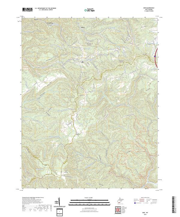
2023 Odd
Raleigh County, WV