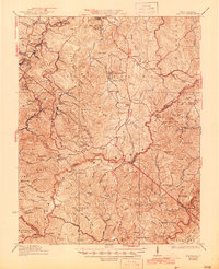
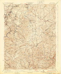
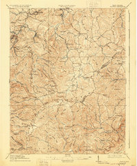
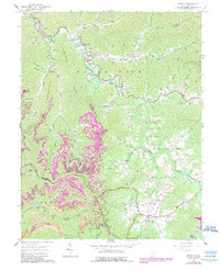
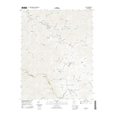
1932 Map of Flattop
USGS Topo · Published 1945About this map
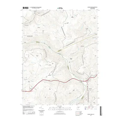
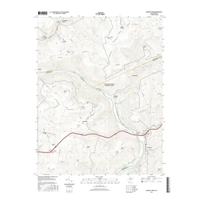
The Virginian railroad cuts through the heavy terrain of the West Virginia coalfields, serving a network of small mining communities and timber towns during the late 1920s. Settlements such as Craborchard, Affinity, and Lillybrook are clustered along the narrow creek valleys like Winding Gulf and Tommy Creek, where industrial activity and residential life were dictated by the local topography. The presence of Blue Jay Mine No 7 near Cherry Glade highlights the area's economic reliance on resource extraction during this period.
Find a feature on this map
105 named features on this map. Tap any name to fly to it.
Don’t see what you’re looking for? This feature index may not catch every label — zoom into the map to look around manually.
Map Details
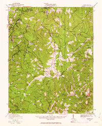
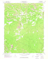
Editions of this 1932 Flattop Map
2 editions found
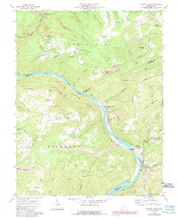
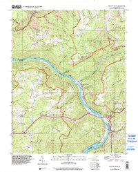
Historical Maps of Sophia Through Time
24 maps found

1911 Flattop
Raleigh County, WV

1911 Marshes
Raleigh County, WV
1914 Flattop
Raleigh County, WV
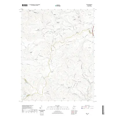
1929 Flattop
Raleigh County, WV
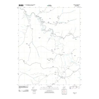
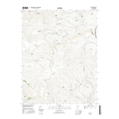
1932 Flattop
Raleigh County, WV
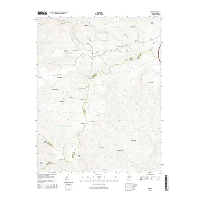
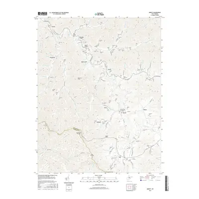
1964 Arnett
Raleigh County, WV
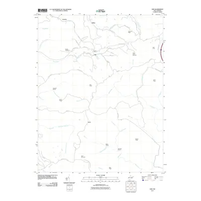
1968 Odd
Raleigh County, WV
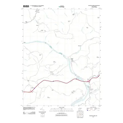
1969 Meadow Creek
Raleigh County, WV
1996 Meadow Creek
Raleigh County, WV
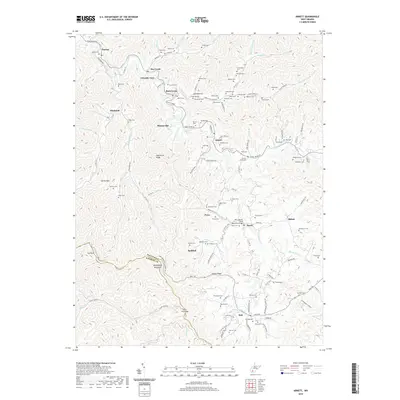
2011 Arnett
Raleigh County, WV
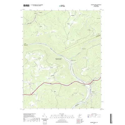
2011 Meadow Creek
Raleigh County, WV
2011 Odd
Raleigh County, WV
2014 Arnett
Raleigh County, WV
2014 Meadow Creek
Raleigh County, WV
2014 Odd
Raleigh County, WV
2016 Arnett
Raleigh County, WV
2016 Meadow Creek
Raleigh County, WV
2016 Odd
Raleigh County, WV
2019 Arnett
Raleigh County, WV
2019 Meadow Creek
Raleigh County, WV
2019 Odd
Raleigh County, WV
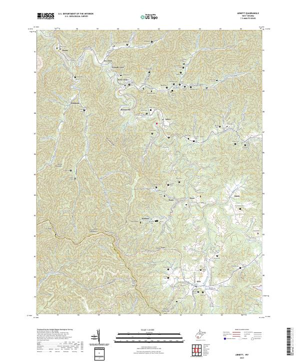
2023 Arnett
Raleigh County, WV
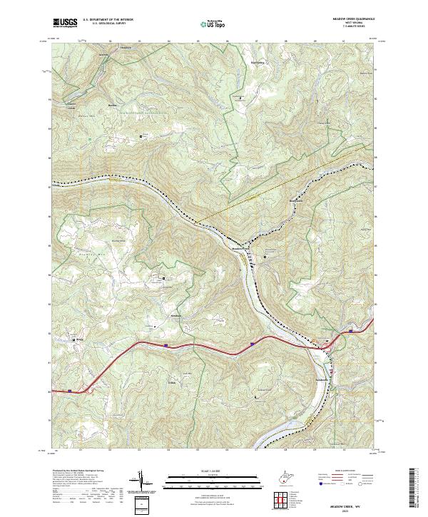
2023 Meadow Creek
Raleigh County, WV
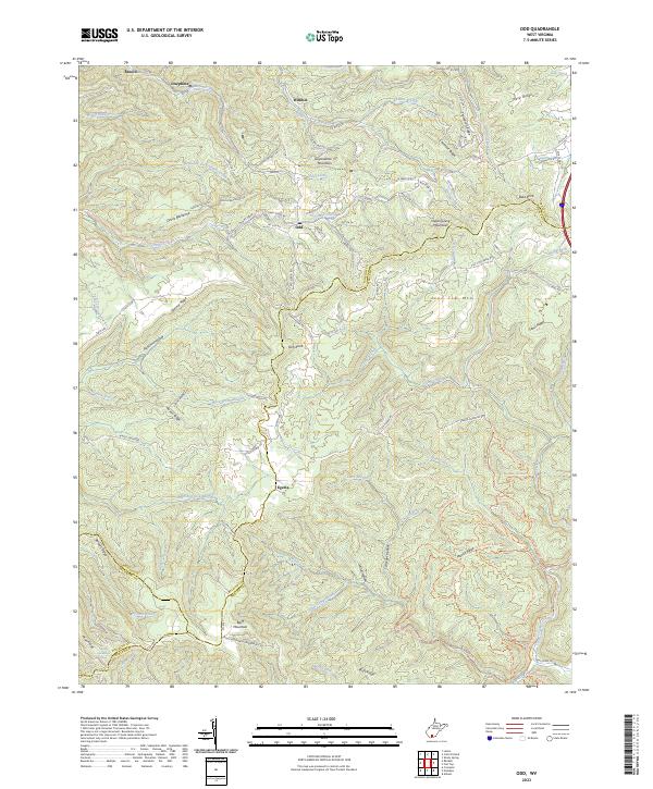
2023 Odd
Raleigh County, WV