2022 Map of Fleets Bay
USGS Topo · Published 2022About this map
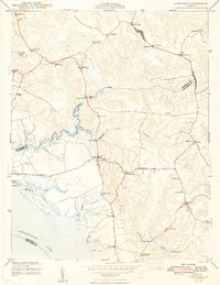
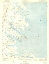
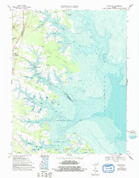
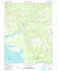
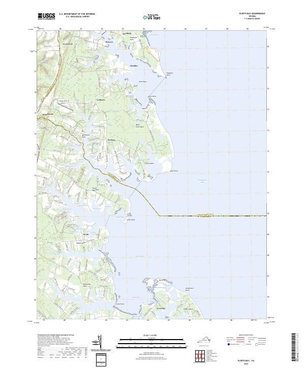
Kilmarnock and its coastal surroundings define this landscape along the western shore of the Chesapeake Bay, where a complex network of peninsulas and tidal inlets shapes local life. The map reveals the intricate geography of the Northern Neck, highlighting prominent landforms like Antipoison Neck and Poplar Neck. Small coastal settlements including Ditchley, Byrdton, and Foxwells are connected by a web of local roads such as Ditchley Rd and Waverly Ave, illustrating the enduring residential patterns of this maritime region.
Find a feature on this map
140 named features on this map. Tap any name to fly to it.
Don’t see what you’re looking for? This feature index may not catch every label — zoom into the map to look around manually.
Map Details
Editions of this 2022 Fleets Bay Map
This is the sole edition of this map. No revisions or reprints were ever made.
Historical Maps of Foxwells Through Time
6 maps found