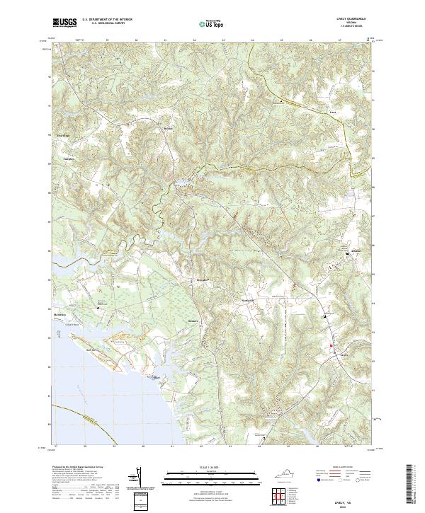
2022 Map of Lively
USGS Topo · Published 2022About this map
The Rappahannock River shoreline defines the southwestern edge of this landscape, where tidal inlets and creek networks like Deep Cr and Lancaster Cr cut deep into the Virginia countryside. This region of the Northern Neck is characterized by its agricultural roots and dispersed settlements such as Morattico, Nuttsville, and Lively. Historically significant millponds, including Morattico Old Mill Pond and Blakemore Millpond, suggest a legacy of local industry driven by the area's numerous waterways.
Find a feature on this map
94 named features on this map. Tap any name to fly to it.
Don’t see what you’re looking for? This feature index may not catch every label — zoom into the map to look around manually.
Map Details
Editions of this 2022 Lively Map
This is the sole edition of this map. No revisions or reprints were ever made.
Other maps of this area

1916 · Kilmarnock
USGS Topo · 1:48,000

1917 · Heathsville
USGS Topo · 1:48,000

1917 · Urbanna
USGS Topo · 1:62,500

1917 · Morattico
USGS Topo · 1:62,500

1917 · Kilmarnock
USGS Topo · 1:62,500

1918 · Morattico
USGS Topo · 1:62,500

1926 · Morattico
USGS Topo · 1:62,500

1942 · Kilmarnock
USGS Topo · 1:62,500

1943 · Richmond
USGS Topo · 1:250,000

1944 · Morattico
USGS Topo · 1:31,680