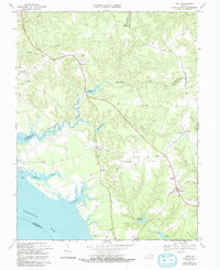
1968 Map of Lively
USGS Topo · Published 1993About this map
The northern reaches of the Rappahannock River meet the intricate tidal network of the Virginia Northern Neck in this landscape of creeks and historical landings. Concentrated around the intersection of local routes, the settlement of Lively serves as a central hub, accompanied by smaller communities such as Somers, Nuttsville, and Morattico on the waterfront. The geography is defined by narrow peninsulas and expansive marshlands, including Belle Isle and the Tidal Flats near Colbert Pt.
Find a feature on this map
45 named features on this map. Tap any name to fly to it.
Don’t see what you’re looking for? This feature index may not catch every label — zoom into the map to look around manually.
Map Details
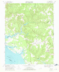
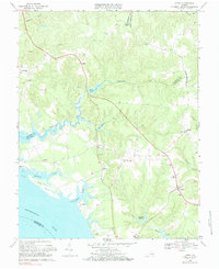
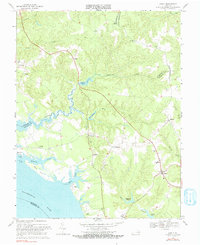
Editions of this 1968 Lively Map
4 editions found
Other maps of this area

1916 · Kilmarnock
USGS Topo · 1:48,000

1917 · Heathsville
USGS Topo · 1:48,000

1917 · Urbanna
USGS Topo · 1:62,500

1917 · Morattico
USGS Topo · 1:62,500

1917 · Kilmarnock
USGS Topo · 1:62,500

1918 · Morattico
USGS Topo · 1:62,500

1926 · Morattico
USGS Topo · 1:62,500

1942 · Kilmarnock
USGS Topo · 1:62,500

1943 · Richmond
USGS Topo · 1:250,000

1944 · Morattico
USGS Topo · 1:31,680