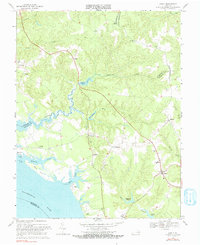
1968 Map of Lively
USGS Topo · Published 1983About this map
The Rappahannock River defines the southern edge of this Northern Neck landscape, where the tidal fingers of Mulberry Creek and Deep Creek reach into the timbered interior. The 1968 topography reveals a collection of crossroads settlements such as Lively, Nuttsville, and Litwalton, which served as the social hubs for the surrounding farming and fishing communities. Inland, the importance of water power is evident at Balls Millpond and Blakemore Millpond, while the riverfront near Morattico and Griffins Landing reflects the historic reliance on waterborne transport for the region's economy.
Find a feature on this map
43 named features on this map. Tap any name to fly to it.
Don’t see what you’re looking for? This feature index may not catch every label — zoom into the map to look around manually.
Map Details
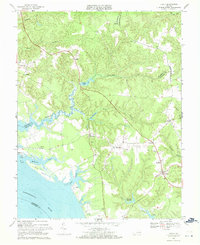
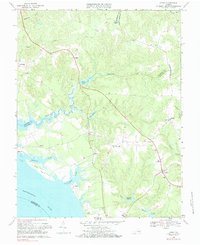
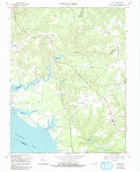
Editions of this 1968 Lively Map
4 editions found
Other maps of this area

1916 · Kilmarnock
USGS Topo · 1:48,000

1917 · Heathsville
USGS Topo · 1:48,000

1917 · Urbanna
USGS Topo · 1:62,500

1917 · Morattico
USGS Topo · 1:62,500

1917 · Kilmarnock
USGS Topo · 1:62,500

1918 · Morattico
USGS Topo · 1:62,500

1926 · Morattico
USGS Topo · 1:62,500

1942 · Kilmarnock
USGS Topo · 1:62,500

1943 · Richmond
USGS Topo · 1:250,000

1944 · Morattico
USGS Topo · 1:31,680