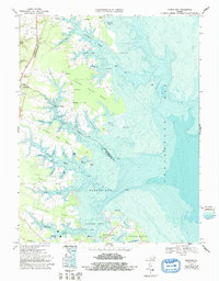
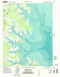
1968 Map of Fleets Bay
USGS Topo · Published 1993About this map
The intricate shoreline of the Northern Neck is the defining characteristic of this 1968 study, where the waters of the Chesapeake Bay meet the deeply incised creeks and points of Lancaster County. The town of Kilmarnock serves as a central hub, connected to the maritime commerce of the era via Kilmarnock Wharf on Indian Creek. This coastal landscape is dominated by long peninsulas such as Bluff Point Neck and Antipoison Neck, which separate the tidal reaches of Dividing Creek and Tabbs Creek. Small communities and landings like Ditchley, Byrdton, and Foxwells are dispersed across the interior, often centered around local landmarks such as Bluff Point Ch and Asbury Ch. The inclusion of bathymetric data reveals the complex underwater topography of Fleets Bay, illustrating the navigational challenges and fishing grounds that supported the regional economy before the turn of the century.
Find a feature on this map
81 named features on this map. Tap any name to fly to it.
Don’t see what you’re looking for? This feature index may not catch every label — zoom into the map to look around manually.
Map Details
Editions of this 1968 Fleets Bay Map
5 editions found
Other maps of this area

1916 · Kilmarnock
USGS Topo · 1:48,000

1917 · Heathsville
USGS Topo · 1:48,000

1917 · Kilmarnock
USGS Topo · 1:62,500

1917 · Ewell
USGS Topo · 1:62,500

1942 · Kilmarnock
USGS Topo · 1:62,500

1943 · Richmond
USGS Topo · 1:250,000

1944 · Reedville
USGS Topo · 1:31,680

1948 · Deltaville
USGS Topo · 1:24,000
1949 · Irvington
USGS Topo · 1:24,000
1949 · Fleets Bay
USGS Topo · 1:24,000