
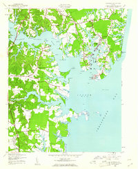
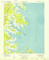
1944 Map of Reedville
USGS Topo · Published 1944About this map
Reedville and the surrounding Chesapeake Bay shoreline are depicted here in the mid-1940s, highlighting a maritime landscape defined by its intricate network of necks and creeks. The coastal economy of the Northern Neck is evident in the cluster of waterfront settlements like Fleeton and Fairport, which were central to the regional fishing and menhaden industries. A significant find for local historians is the Julius Rosenwald Sch near Lilian, a notable site in the history of African American education, alongside the Nina H Jeanes School further south. The map documents the rural infrastructure of Northumberland County, from small commercial hubs like Delanos Store to established community anchors including Bethany Ch and Rehoboth Church. Navigation of the Great Wicomico River is marked by the Great Wicomico River Lighthouse and Fleet Pt Lt, which guided vessel traffic into these deep-water estuaries during a period of peak coastal activity.
Find a feature on this map
70 named features on this map. Tap any name to fly to it.
Don’t see what you’re looking for? This feature index may not catch every label — zoom into the map to look around manually.
Map Details
Editions of this 1944 Reedville Map
2 editions found
Other maps of this area

1916 · Kilmarnock
USGS Topo · 1:48,000

1917 · Heathsville
USGS Topo · 1:48,000

1917 · Kilmarnock
USGS Topo · 1:62,500

1917 · Ewell
USGS Topo · 1:62,500

1942 · Kilmarnock
USGS Topo · 1:62,500

1943 · Richmond
USGS Topo · 1:250,000
1944 · Sunnybank
USGS Topo · 1:31,680
1944 · Heathsville
USGS Topo · 1:31,680
1949 · Irvington
USGS Topo · 1:24,000
1949 · Fleets Bay
USGS Topo · 1:24,000