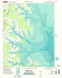
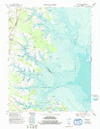
1968 Map of Fleets Bay
USGS Topo · Published 1993About this map
Dividing Creek and Indian Creek carve deeply into the Virginia coastline, defining the intricate peninsulas of the Northern Neck during the late 1960s. This survey, updated with bathymetric data, reveals the maritime character of communities like Ditchley and Kilmarnock Wharf, where the proximity to Chesapeake Bay dictated local commerce and transportation. The interior landscape is dotted with ancestral markers including Maple Grove Ch, Calvary Ch, and Asbury Ch, alongside established estates and landings.
Find a feature on this map
64 named features on this map. Tap any name to fly to it.
Don’t see what you’re looking for? This feature index may not catch every label — zoom into the map to look around manually.
Map Details
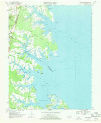
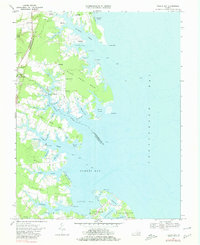
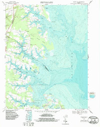
Editions of this 1968 Fleets Bay Map
5 editions found
Other maps of this area

1916 · Kilmarnock
USGS Topo · 1:48,000

1917 · Heathsville
USGS Topo · 1:48,000

1917 · Kilmarnock
USGS Topo · 1:62,500

1917 · Ewell
USGS Topo · 1:62,500

1942 · Kilmarnock
USGS Topo · 1:62,500

1943 · Richmond
USGS Topo · 1:250,000

1944 · Reedville
USGS Topo · 1:31,680

1948 · Deltaville
USGS Topo · 1:24,000
1949 · Irvington
USGS Topo · 1:24,000
1949 · Fleets Bay
USGS Topo · 1:24,000