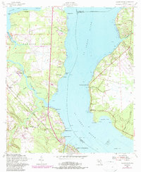
1952 Map of Fleming Island
USGS Topo · Published 1987About this map
The St Johns River serves as the central artery for this mid-century survey, dividing the waterfront communities of Clay and St Johns counties. Along the western bank, the settlements of Hibernia and Magnolia Springs flank the larger center at Green Cove Springs, connected by the Seaboard Coast Line railroad. The inclusion of the Jacksonville Air Force Station GATR Facility on Fleming Island reflects the Cold War era's military footprint in the region, while the eastern shore remains characterized by smaller landing points like Switzerland and Fruit Cove. Local spiritual life is anchored by several historic congregations, including St Margaret Ch and Mt Pleasant Ch. This landscape illustrates the transition of old riverfront estates and military installations into the burgeoning suburban corridors of Northeast Florida.
Find a feature on this map
50 named features on this map. Tap any name to fly to it.
Don’t see what you’re looking for? This feature index may not catch every label — zoom into the map to look around manually.
Map Details
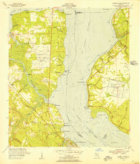
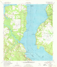
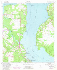
Editions of this 1952 Fleming Island Map
4 editions found
Other maps of this area

1917 · Orange Park
USGS Topo · 1:62,500

1918 · Middleburg
USGS Topo · 1:62,500

1918 · Orange Park
USGS Topo · 1:62,500

1941 · Middleburg
USGS Topo · 1:62,500

1942 · Ates Creek
USGS Topo · 1:62,500

1947 · Bostwick
USGS Topo · 1:50,000

1948 · Jacksonville
USGS Topo · 1:250,000

1949 · Green Cove Springs
USGS Topo · 1:24,000

1949 · Middleburg
USGS Topo · 1:24,000

1949 · Jacksonville Heights
USGS Topo · 1:24,000