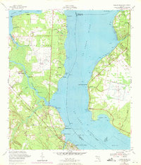
1952 Map of Fleming Island
USGS Topo · Published 1971About this map
Fleming Island sits at the wide confluence of the St Johns River and Doctors Lake, defined by a landscape of creeks and shoreline points during the mid-20th century. This 1952 edition, with revisions through 1970, shows a transitional period where aviation history is marked by two decommissioned sites: the Fleming Island Airfield and the Switzerland Airfield across the river. Small riverfront communities like Hibernia and Magnolia Springs cluster near the water, while the Seaboard Coast Line railroad cuts through the western interior near Russell. The map reveals a high density of small water bodies and marshy inlets, such as Moccasin Slough and Swimming Pen Creek, illustrating the aquatic nature of Clay and St. Johns Counties before modern suburban expansion fully altered the rural riverine character.
Find a feature on this map
51 named features on this map. Tap any name to fly to it.
Don’t see what you’re looking for? This feature index may not catch every label — zoom into the map to look around manually.
Map Details
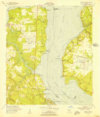
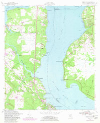
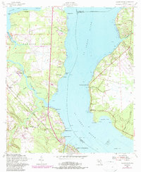
Editions of this 1952 Fleming Island Map
4 editions found
Other maps of this area

1917 · Orange Park
USGS Topo · 1:62,500

1918 · Middleburg
USGS Topo · 1:62,500

1918 · Orange Park
USGS Topo · 1:62,500

1941 · Middleburg
USGS Topo · 1:62,500

1942 · Ates Creek
USGS Topo · 1:62,500

1947 · Bostwick
USGS Topo · 1:50,000

1948 · Jacksonville
USGS Topo · 1:250,000

1949 · Green Cove Springs
USGS Topo · 1:24,000

1949 · Middleburg
USGS Topo · 1:24,000

1949 · Jacksonville Heights
USGS Topo · 1:24,000