
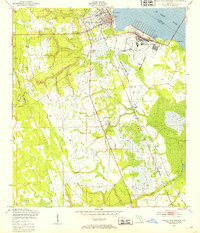
1949 Map of Green Cove Springs
USGS Topo · Published 1953About this map
Green Cove Springs anchors this 1949 survey of the St Johns River shoreline, captured during a period of significant post-war military activity in Clay County. The landscape is dominated by the U S Naval Station and Lee Outlying Field, bounded by a prominent Reservation Boundary. These military installations neighbor small, established communities like Walkill and Leno, illustrating the era's shift from rural agriculture to defense-driven development.
Find a feature on this map
28 named features on this map. Tap any name to fly to it.
Don’t see what you’re looking for? This feature index may not catch every label — zoom into the map to look around manually.
Map Details
Editions of this 1949 Green Cove Springs Map
5 editions found

Other maps of this area

1917 · Orange Park
USGS Topo · 1:62,500

1918 · Middleburg
USGS Topo · 1:62,500

1918 · Orange Park
USGS Topo · 1:62,500

1941 · Middleburg
USGS Topo · 1:62,500

1942 · Ates Creek
USGS Topo · 1:62,500

1947 · Bostwick
USGS Topo · 1:50,000

1948 · Jacksonville
USGS Topo · 1:250,000

1949 · Rice Creek
USGS Topo · 1:24,000

1949 · Bostwick
USGS Topo · 1:24,000

1949 · Middleburg
USGS Topo · 1:24,000