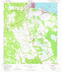
1949 Map of Green Cove Springs
USGS Topo · Published 1972About this map
Green Cove Springs anchors the west bank of the St Johns River in this 1949 survey, which includes 1970 photorevised updates shown in purple. The map reveals a transition from the established riverfront town to the outlying settlements of Walkill and Leno. Near the City Dock, the local spiritual and community landscape is marked by Old St Marys Ch and Mt Olivet Cem, while the interior features the Shiloh Ch.
Find a feature on this map
18 named features on this map. Tap any name to fly to it.
Don’t see what you’re looking for? This feature index may not catch every label — zoom into the map to look around manually.
Map Details
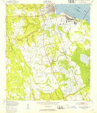
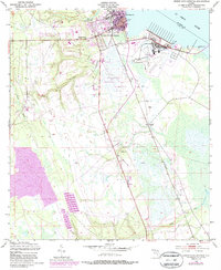
Editions of this 1949 Green Cove Springs Map
5 editions found

Other maps of this area

1917 · Orange Park
USGS Topo · 1:62,500

1918 · Middleburg
USGS Topo · 1:62,500

1918 · Orange Park
USGS Topo · 1:62,500

1941 · Middleburg
USGS Topo · 1:62,500

1942 · Ates Creek
USGS Topo · 1:62,500

1947 · Bostwick
USGS Topo · 1:50,000

1948 · Jacksonville
USGS Topo · 1:250,000

1949 · Rice Creek
USGS Topo · 1:24,000

1949 · Bostwick
USGS Topo · 1:24,000

1949 · Green Cove Springs
USGS Topo · 1:24,000