
1949 Map of Rice Creek
USGS Topo · Published 1953About this map
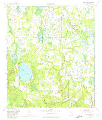
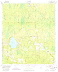
Georges Lake dominates the western landscape of this survey, surrounded by a complex network of wetlands and drainage basins. Mapped shortly after the war by the Army Map Service, the terrain shows a quiet, undeveloped stretch of the Florida interior where the Clay Co Putnam Co line bisects the northern reaches of the sheet. The hydrological pattern is particularly intricate, with Rice Creek and Etonia Creek winding through the lowlands in the southeast, while Greens Creek and the curiously named Devils Den Creek define the northern drainage. This topography reveals a landscape largely defined by its natural water flow and heavy vegetation before mid-century agricultural or residential expansion altered the surface drainage of the region.
Find a feature on this map
7 named features on this map. Tap any name to fly to it.
Don’t see what you’re looking for? This feature index may not catch every label — zoom into the map to look around manually.
Map Details
Editions of this 1949 Rice Creek Map
3 editions found
Other maps of this area

1912 · Palatka
USGS Topo · 1:48,000

1915 · Palatka
USGS Topo · 1:62,500

1915 · Interlachen
USGS Topo · 1:48,000

1916 · Interlachen
USGS Topo · 1:62,500

1942 · Ates Creek
USGS Topo · 1:62,500

1944 · Interlachen
USGS Topo · 1:62,500

1947 · Bostwick
USGS Topo · 1:50,000

1949 · Bostwick
USGS Topo · 1:24,000

1949 · Green Cove Springs
USGS Topo · 1:24,000

1949 · Baywood
USGS Topo · 1:24,000