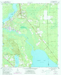
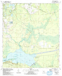
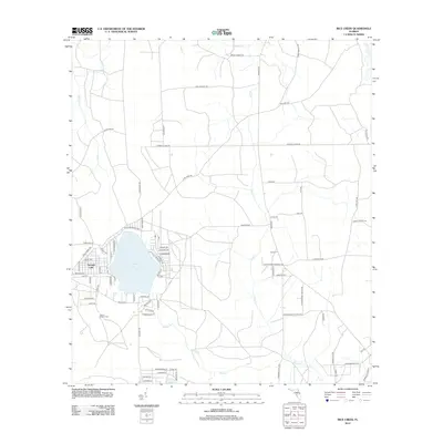
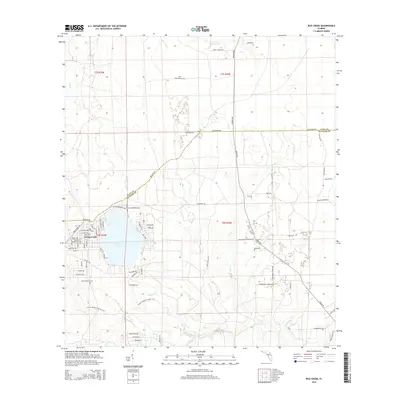
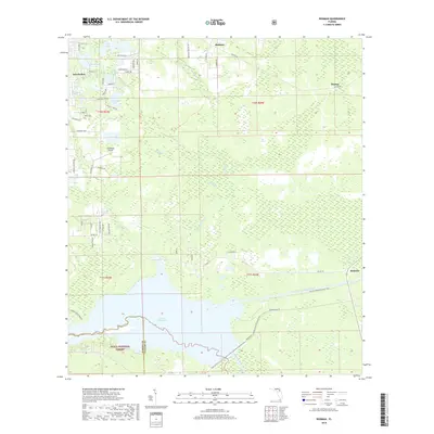
1949 Map of Rice Creek
USGS Topo · Published 1978About this map
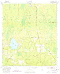
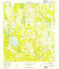
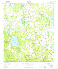
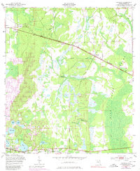
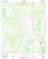
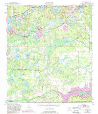
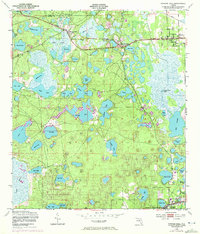
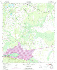
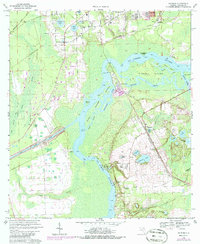
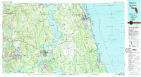
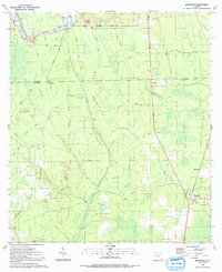
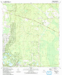
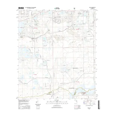
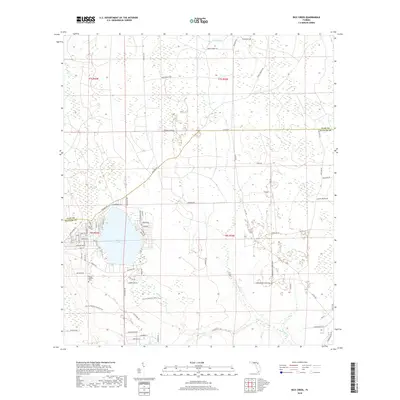
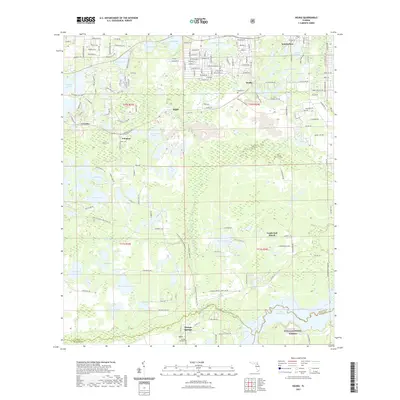
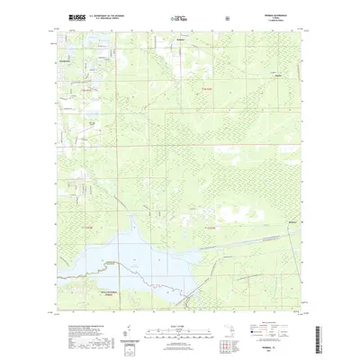
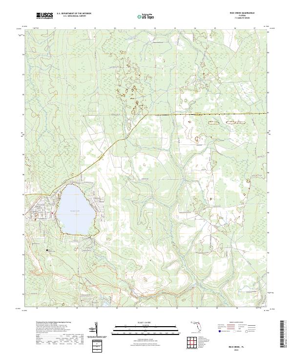
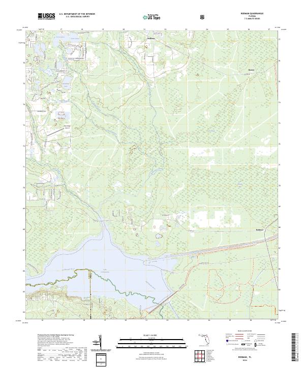
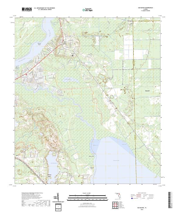
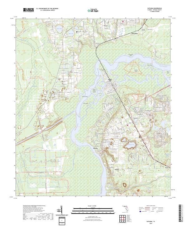
Georges Lake dominates the southwestern corner of this area, where the County Boundary between Clay and Putnam counties divides the landscape. This region of Florida is defined by a dense network of watercourses and swampy terrain, with drainages like Greens Creek and Devils Den Cr flowing through the northern sections. The map reveals a transition in land use, showing the woodland areas as they were recompiled in the 1970s based on aerial photography. To the south, the meandering path of Rice Creek and its tributaries, including Falling Branch and Blonia Creek, illustrate the complex hydrology of this low-lying territory before significant modern development altered the drainage patterns of the Florida interior.
Find a feature on this map
9 named features on this map. Tap any name to fly to it.
Don’t see what you’re looking for? This feature index may not catch every label — zoom into the map to look around manually.
Map Details
Editions of this 1949 Rice Creek Map
3 editions found
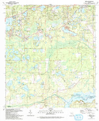
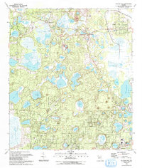
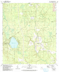
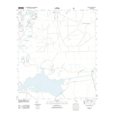
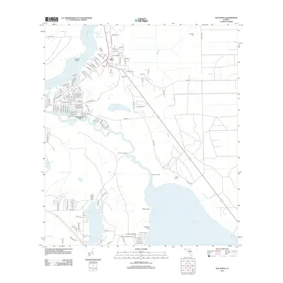
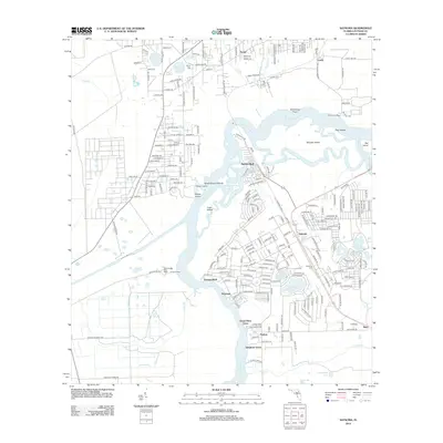
Historical Maps of Georges Lake Through Time
55 maps found
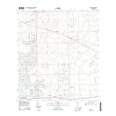
1949 Baywood
Putnam County, FL
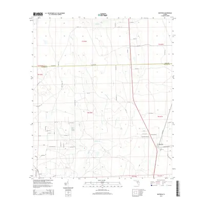
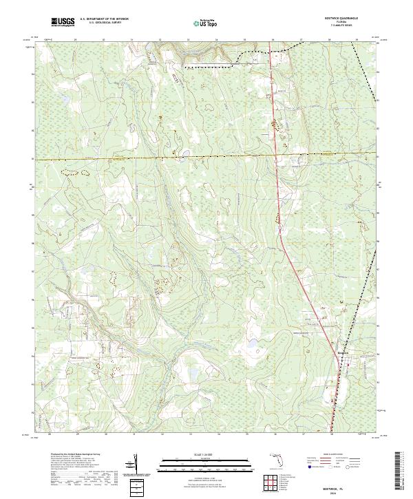
1949 Bostwick
Putnam County, FL
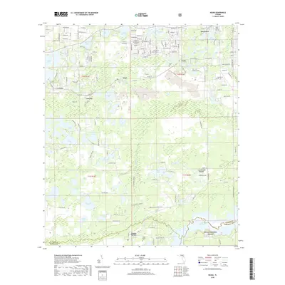
1949 Keuka
Putnam County, FL
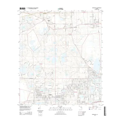
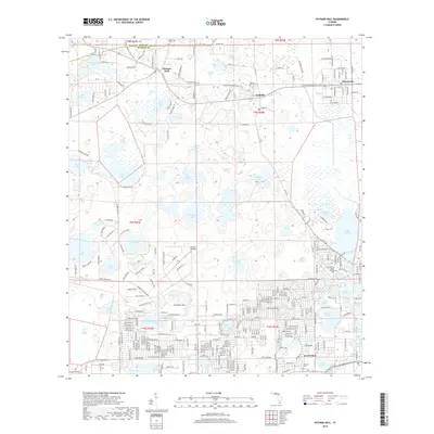
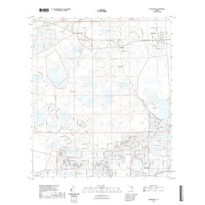
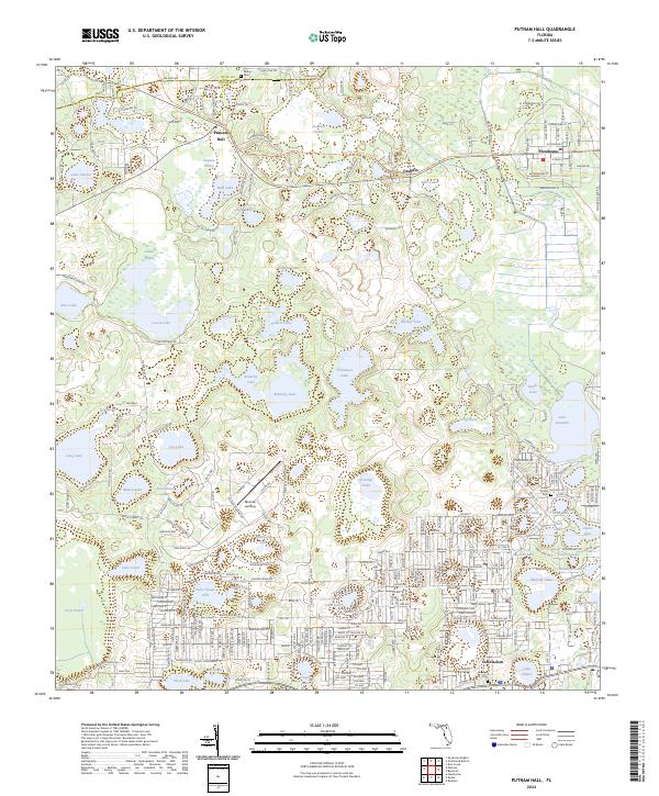
1949 Putnam Hall
Putnam County, FL
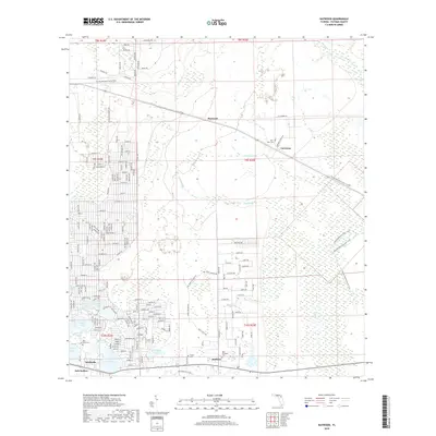
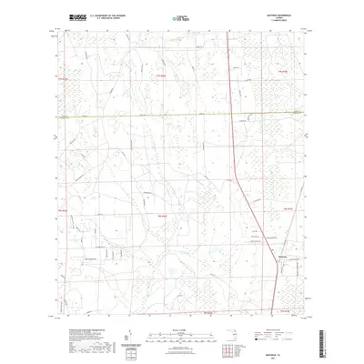
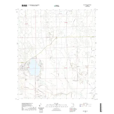
1949 Rice Creek
Putnam County, FL
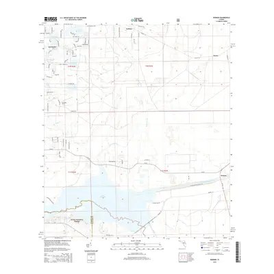
1949 Rodman
Putnam County, FL
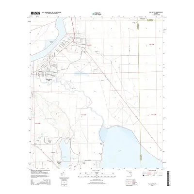
1968 San Mateo
Putnam County, FL
1968 Satsuma
Putnam County, FL
1981 Saint Augustine
Putnam County, FL
1991 Bostwick
Putnam County, FL
1993 Baywood
Putnam County, FL
1993 Keuka
Putnam County, FL
1993 Putnam Hall
Putnam County, FL
1993 Rice Creek
Putnam County, FL
1993 Rodman
Putnam County, FL
2012 Baywood
Putnam County, FL

2012 Bostwick
Putnam County, FL
2012 Keuka
Putnam County, FL
2012 Putnam Hall
Putnam County, FL
2012 Rice Creek
Putnam County, FL
2012 Rodman
Putnam County, FL
2012 San Mateo
Putnam County, FL
2012 Satsuma
Putnam County, FL
2015 Baywood
Putnam County, FL
2015 Bostwick
Putnam County, FL
2015 Keuka
Putnam County, FL
2015 Putnam Hall
Putnam County, FL
2015 Rice Creek
Putnam County, FL
2015 Rodman
Putnam County, FL
2015 San Mateo
Putnam County, FL
2015 Satsuma
Putnam County, FL
2018 Baywood
Putnam County, FL

2018 Bostwick
Putnam County, FL
2018 Keuka
Putnam County, FL
2018 Putnam Hall
Putnam County, FL
2018 Rice Creek
Putnam County, FL
2018 Rodman
Putnam County, FL
2018 San Mateo
Putnam County, FL
2018 Satsuma
Putnam County, FL
2021 Baywood
Putnam County, FL
2021 Bostwick
Putnam County, FL
2021 Keuka
Putnam County, FL
2021 Putnam Hall
Putnam County, FL
2021 Rice Creek
Putnam County, FL
2021 Rodman
Putnam County, FL
2021 San Mateo
Putnam County, FL
2021 Satsuma
Putnam County, FL
2024 Baywood
Putnam County, FL
2024 Bostwick
Putnam County, FL
2024 Keuka
Putnam County, FL
2024 Putnam Hall
Putnam County, FL
2024 Rice Creek
Putnam County, FL
2024 Rodman
Putnam County, FL
2024 San Mateo
Putnam County, FL
2024 Satsuma
Putnam County, FL