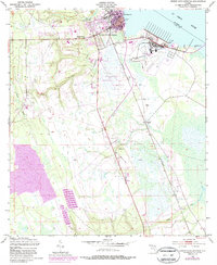
1949 Map of Green Cove Springs
USGS Topo · Published 1987About this map
Green Cove Springs sits prominently along the western bank of the St Johns River, serving as a vital focal point for Clay County during this mid-century period. The riverfront is characterized by significant infrastructure including the City Dock and the nearby Reynolds Airfield (Private), reflecting the area's logistical and transportation importance. Inland, the landscape is defined by the winding paths of Governors Creek and Peters Creek, with several small settlements and community landmarks scattered throughout the piney woods and wetlands. Local spiritual and social centers such as Old St Marys Ch, Shiloh Ch, and Hickory Grove Ch anchor the rural areas, while the Seaboard Coast Line railroad provides a critical north-south link through the communities of Walkill and Leno. This survey captures the transition from traditional river-and-rail dependency to modern aerial and highway connectivity.
Find a feature on this map
22 named features on this map. Tap any name to fly to it.
Don’t see what you’re looking for? This feature index may not catch every label — zoom into the map to look around manually.
Map Details
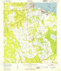
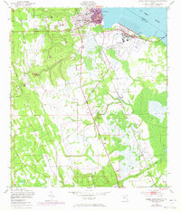
Editions of this 1949 Green Cove Springs Map
5 editions found

Other maps of this area

1917 · Orange Park
USGS Topo · 1:62,500

1918 · Middleburg
USGS Topo · 1:62,500

1918 · Orange Park
USGS Topo · 1:62,500

1941 · Middleburg
USGS Topo · 1:62,500

1942 · Ates Creek
USGS Topo · 1:62,500

1947 · Bostwick
USGS Topo · 1:50,000

1948 · Jacksonville
USGS Topo · 1:250,000

1949 · Rice Creek
USGS Topo · 1:24,000

1949 · Bostwick
USGS Topo · 1:24,000

1949 · Green Cove Springs
USGS Topo · 1:24,000