
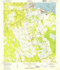
1949 Map of Green Cove Springs
USGS Topo · Published 1980About this map
Green Cove Springs sits along the western bank of the St Johns River, serving as a vital riverfront hub at the middle of the twentieth century. The town's connection to the water is anchored by the City Dock and the nearby Reynolds Airfield, highlighting its role in regional transport and aviation. Further inland, the landscape is defined by the winding paths of Governors Creek and Peters Creek, with development following the Seaboard Coast Line railroad southward through smaller settlements like Walkill and Leno.
Find a feature on this map
24 named features on this map. Tap any name to fly to it.
Don’t see what you’re looking for? This feature index may not catch every label — zoom into the map to look around manually.
Map Details
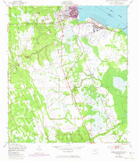
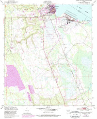
Editions of this 1949 Green Cove Springs Map
5 editions found
Other maps of this area

1917 · Orange Park
USGS Topo · 1:62,500

1918 · Middleburg
USGS Topo · 1:62,500

1918 · Orange Park
USGS Topo · 1:62,500

1941 · Middleburg
USGS Topo · 1:62,500

1942 · Ates Creek
USGS Topo · 1:62,500

1947 · Bostwick
USGS Topo · 1:50,000

1948 · Jacksonville
USGS Topo · 1:250,000

1949 · Rice Creek
USGS Topo · 1:24,000

1949 · Bostwick
USGS Topo · 1:24,000

1949 · Green Cove Springs
USGS Topo · 1:24,000