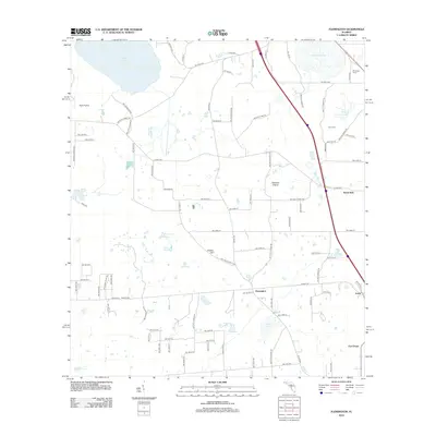
2012 Map of Flemington
USGS Topo · Published 2012About this map
Flemington and its surrounding rural hamlets sit amidst a landscape of seasonal wetlands and low-lying prairies in this 2012 study of the North Florida interior. The area is defined by its transition between open water and flatlands, most notably seen in the proximity of Tuscawilla Lake and Ledwith Lake to the broad expanses of Fish Prairie and Hickman Prairie. These terrain features suggest a complex local hydrology, where numerous smaller water bodies like Gum Pond and Log Pond are interspersed among large agricultural tracts and woodland.
Find a feature on this map
93 named features on this map. Tap any name to fly to it.
Don’t see what you’re looking for? This feature index may not catch every label — zoom into the map to look around manually.
Map Details
Editions of this 2012 Flemington Map
This is the sole edition of this map. No revisions or reprints were ever made.
Other maps of this area

1890 · Arredondo
USGS Topo · 1:62,500

1892 · Arredondo
USGS Topo · 1:62,500

1893 · Citra
USGS Topo · 1:62,500

1894 · Arredondo
USGS Topo · 1:62,500

1895 · Williston
USGS Topo · 1:62,500

1895 · Citra
USGS Topo · 1:62,500

1938 · Hawthorn
USGS Topo · 1:48,000

1943 · Hawthorn
USGS Topo · 1:62,500

1954 · Gainesville
USGS Topo · 1:250,000

1958 · Gainesville
USGS Topo · 1:250,000