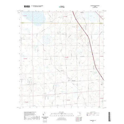
2021 Map of Flemington
USGS Topo · Published 2021About this map
Cannan Church Cem and the small settlement of Flemington anchor this interior landscape along the border of Alachua and Marion Counties. The terrain is defined by a dense network of ponds and prairie depressions, including Hickman Prairie, Fish Prairie, and the larger Tuscawilla Lake near Micanopy. This hydrography suggests a karst environment where water levels fluctuate across features like Plantation Pond and Tobacco House Pond. For those tracing local families, several burial sites are documented across the rural landscape, including McFall Cem and Baptist Cem. The map also traces the Price's Scrub Trl through the northern section, reflecting the preserved natural areas that exist alongside the agricultural and residential plots of Irvine and the surrounding townships.
Find a feature on this map
101 named features on this map. Tap any name to fly to it.
Don’t see what you’re looking for? This feature index may not catch every label — zoom into the map to look around manually.
Map Details
Editions of this 2021 Flemington Map
This is the sole edition of this map. No revisions or reprints were ever made.
Other maps of this area

1890 · Arredondo
USGS Topo · 1:62,500

1892 · Arredondo
USGS Topo · 1:62,500

1893 · Citra
USGS Topo · 1:62,500

1894 · Arredondo
USGS Topo · 1:62,500

1895 · Williston
USGS Topo · 1:62,500

1895 · Citra
USGS Topo · 1:62,500

1938 · Hawthorn
USGS Topo · 1:48,000

1943 · Hawthorn
USGS Topo · 1:62,500

1954 · Gainesville
USGS Topo · 1:250,000

1958 · Gainesville
USGS Topo · 1:250,000