Loading...
Loading map...2023 Map of Fletcher
USGS Topo · Published 2023About this map
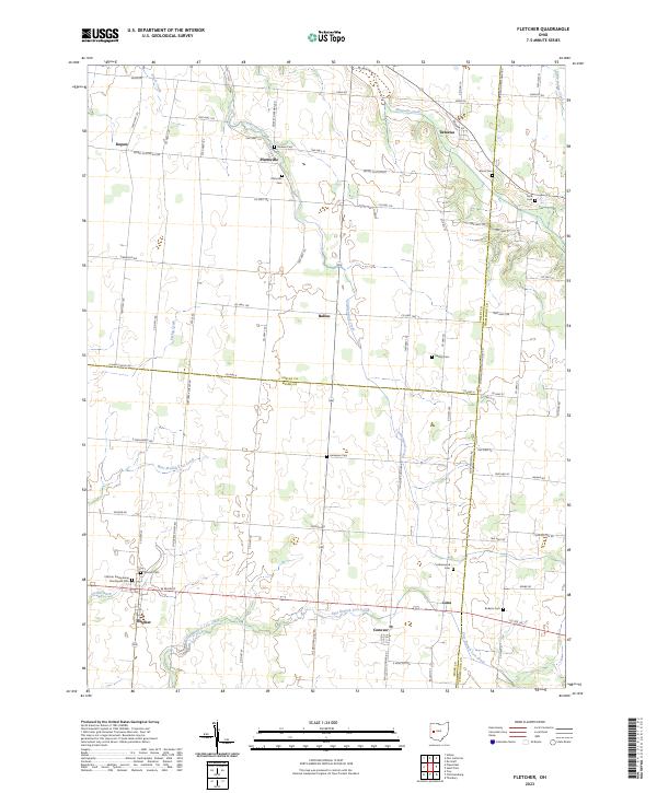
Fletcher and Plattsville anchor this detailed study of the Ohio landscape where the boundaries of Miami, Shelby, and Champaign counties converge. The terrain is defined by the branching waterways of Leatherwood Creek, West Branch Lost Creek, and East Branch Lost Creek, which together carve a pattern of drainage through the agricultural heartland. These streams dictate the placement of early settlements and the orientation of local corridors like Sidney Plattsville Rd.
Find a feature on this map
82 named features on this map. Tap any name to fly to it.
Don’t see what you’re looking for? This feature index may not catch every label — zoom into the map to look around manually.
Map Details
Date Portrayed2023
Date Published2023
PublisherU.S. Geological Survey
Map TypeTopographic
Scale1:24000
Physical Dimensions24 x 29 inches
Editions of this 2023 Fletcher Map
This is the sole edition of this map. No revisions or reprints were ever made.
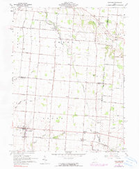
Historical Maps of Plattsville Through Time
Featured Locations
Source Details
SourceU.S. Geological Survey
CopyrightPublic Domain