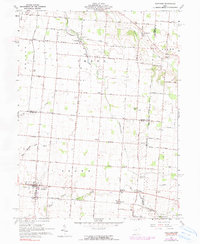
1961 Map of Fletcher
USGS Topo · Published 1990About this map
Fletcher and the surrounding townships of Miami, Shelby, and Champaign counties reveal a landscape defined by agricultural tradition and early rail infrastructure. The Penn Central line bisects the southern half of the map, serving the small communities of Conover and Lena, which grew alongside the tracks. The terrain is characterized by the drainage patterns of Lost Creek and Leatherwood Creek, where the local genealogy is preserved in numerous family and pioneer burial grounds like Pioneer Cem and Leatherwood Cem. Educational and spiritual centers, such as Charity Chapel and Fairlawn Sch, anchor the rural road network. This 1961 survey, updated with aerial data through 1972, documents the mid-century intersection of rural Ohio life and the established railroad economy before major cultural or drainage shifts altered the region.
Find a feature on this map
66 named features on this map. Tap any name to fly to it.
Don’t see what you’re looking for? This feature index may not catch every label — zoom into the map to look around manually.
Map Details
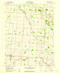
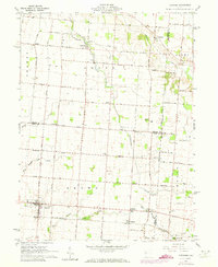
Editions of this 1961 Fletcher Map
3 editions found
Other maps of this area

1913 · Bellefontaine
USGS Topo · 1:48,000

1913 · Sidney
USGS Topo · 1:62,500

1914 · Troy
USGS Topo · 1:62,500

1914 · St. Paris
USGS Topo · 1:62,500

1915 · Bellefontaine
USGS Topo · 1:62,500

1916 · St. Paris
USGS Topo · 1:62,500

1944 · Sidney
USGS Topo · 1:62,500

1944 · St. Paris
USGS Topo · 1:62,500

1944 · Troy
USGS Topo · 1:62,500

1944 · Bellefontaine
USGS Topo · 1:62,500