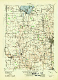
1944 Map of Bellefontaine
USGS Topo · Published 1944About this map
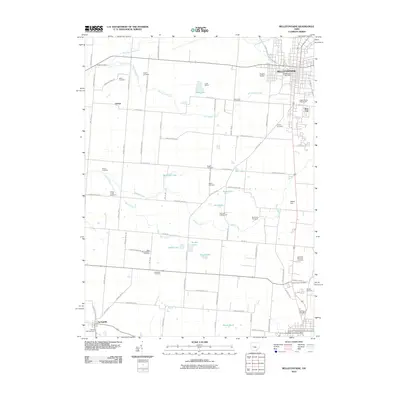
Indian Lake dominates the northern landscape of this mid-century survey, surrounded by established lakeside communities like Russells Point, Lakeview, and Orchard Island. To the southeast, Bellefontaine serves as the regional hub, where the New York Central and Toledo and Ohio Central rail lines intersect. The map documents a social landscape through significant landmarks including the County Infirmary and the Childrens Home, alongside a dense network of numbered school districts such as School No 9 and School No 4. The terrain is shaped by the Miami River and its many tributaries like Muchinippi Creek and Buckongahelas Creek. Notable historic boundaries are preserved here, most notably the Treaty Line cutting across the central townships, while the southern reaches feature numerous small water bodies like Black Lake and Braden Lake near West Liberty.
Find a feature on this map
74 named features on this map. Tap any name to fly to it.
Don’t see what you’re looking for? This feature index may not catch every label — zoom into the map to look around manually.
Map Details
Editions of this 1944 Bellefontaine Map
This is the sole edition of this map. No revisions or reprints were ever made.
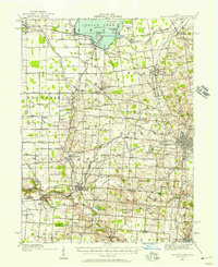
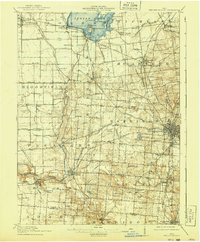
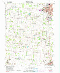
Historical Maps of Bellefontaine Through Time
11 maps found
1913 Bellefontaine
Logan County, OH
1915 Bellefontaine
Logan County, OH
1944 Bellefontaine
Logan County, OH
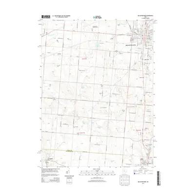
1960 Bellefontaine
Logan County, OH

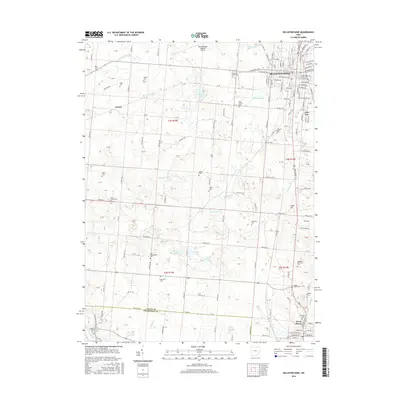
1986 Bellefontaine
Logan County, OH

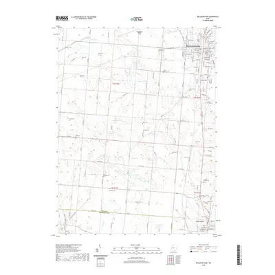
1992 Bellefontaine
Logan County, OH
2010 Bellefontaine
Logan County, OH
2013 Bellefontaine
Logan County, OH
2016 Bellefontaine
Logan County, OH
2019 Bellefontaine
Logan County, OH
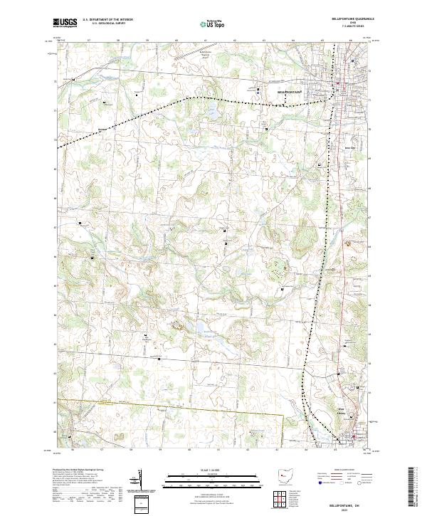
2023 Bellefontaine
Logan County, OH
Featured Locations
- Bellefontaine, OH
- De Graff, OH
- West Liberty, Liberty Township
- Russells Point, Washington Township
- Lakeview, Stokes Township