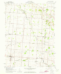
1961 Map of Fletcher
USGS Topo · Published 1973About this map
Leatherwood Creek and Lost Creek wind through the borderlands of Miami and Shelby counties, anchoring a landscape defined by small-town life and the Penn Central rail line. The village of Fletcher stands at the heart of this agricultural region, supported by nearby communities like Conover, Lena, and Plattsville. The map captures a moment of local transition, with 1972 revisions showing changes to the rural road network and school infrastructure, including the Miami East Jr High Sch and Fairlawn Sch. For those tracing family histories, the sheet is exceptionally detailed with small family and pioneer burial grounds such as Sturm Cem, Neal Cem, and Pioneer Cem. Religious life is marked by local landmarks like Charity Chapel and Spring Creek Ch, while the undulating terrain is punctuated by named local routes like Snodgrass Road and Caven Road.
Find a feature on this map
70 named features on this map. Tap any name to fly to it.
Don’t see what you’re looking for? This feature index may not catch every label — zoom into the map to look around manually.
Map Details
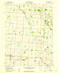
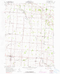
Editions of this 1961 Fletcher Map
3 editions found
Other maps of this area

1913 · Bellefontaine
USGS Topo · 1:48,000

1913 · Sidney
USGS Topo · 1:62,500

1914 · Troy
USGS Topo · 1:62,500

1914 · St. Paris
USGS Topo · 1:62,500

1915 · Bellefontaine
USGS Topo · 1:62,500

1916 · St. Paris
USGS Topo · 1:62,500

1944 · Sidney
USGS Topo · 1:62,500

1944 · St. Paris
USGS Topo · 1:62,500

1944 · Troy
USGS Topo · 1:62,500

1944 · Bellefontaine
USGS Topo · 1:62,500