1944 Map of Sidney
USGS Topo · Published 1944About this map
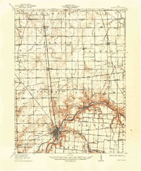
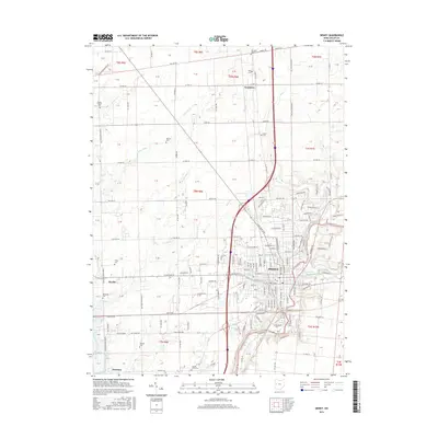
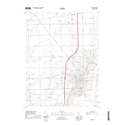
Sidney serves as the industrial and social anchor of this mid-1940s landscape, situated at the confluence where Tawawa Creek and Mosquito Creek meet the Great Miami River. The town's significance is reinforced by a dense network of railroads, including the Baltimore and Ohio RR, which intersects with the Cleveland Cincinnati Chicago and St Louis RR near the heart of the settlement. Northward, the landscape transitions into a grid of rural townships like Dins More and Franklin, where the economy is clearly defined by a remarkable density of district schoolhouses such as School No 5 and Rhine Sch.
Find a feature on this map
75 named features on this map. Tap any name to fly to it.
Don’t see what you’re looking for? This feature index may not catch every label — zoom into the map to look around manually.
Map Details
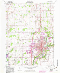
Editions of this 1944 Sidney Map
This is the sole edition of this map. No revisions or reprints were ever made.
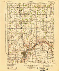
Historical Maps of Sidney Through Time
8 maps found