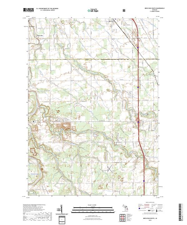
2023 Map of Flint North
USGS Topo · Published 2023About this map
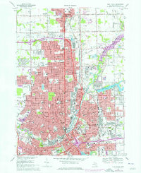
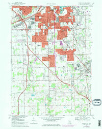
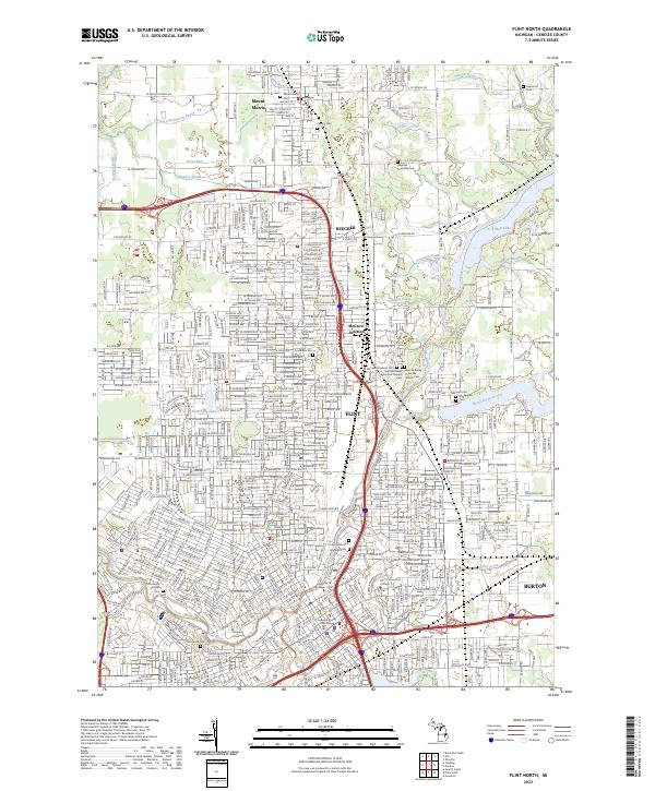
The Flint River corridors define the urban and industrial layout of this Michigan region, where the city of Flint serves as the central hub of activity. The map reveals a dense network of neighborhoods and industrial infrastructure, including the rail interface at McGrew Junction and the institutional footprints of University of Michigan - Flint and Kettering University. To the north, the landscape transitions into the residential communities of Beecher and Mount Morris, while Burton anchors the southeastern corner.
Find a feature on this map
269 named features on this map. Tap any name to fly to it.
Don’t see what you’re looking for? This feature index may not catch every label — zoom into the map to look around manually.
Map Details
Editions of this 2023 Flint North Map
This is the sole edition of this map. No revisions or reprints were ever made.
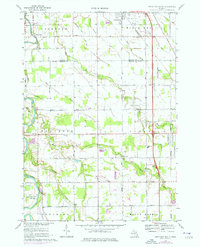
Historical Maps of Flint Charter Township Through Time
6 maps found