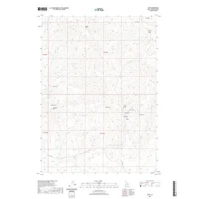
2020 Map of Flint
USGS Topo · Published 2020About this map
Flint occupies a central position within this part of Owyhee County, situated among a complex network of drainages that flow from the high elevations of the Silver City Range. The landscape is defined by its deep canyons and named draws, including Washington Gulch, Twilight Gulch, and Hard Up Gulch, names that suggest a legacy of early prospecting and difficult terrain. Several peaks dominate the local horizon, most notably Dewey Peak and the area near Black Warrior.
Find a feature on this map
29 named features on this map. Tap any name to fly to it.
Don’t see what you’re looking for? This feature index may not catch every label — zoom into the map to look around manually.
Map Details
Editions of this 2020 Flint Map
This is the sole edition of this map. No revisions or reprints were ever made.
Other maps of this area

1892 · Silver City
USGS Topo · 1:125,000

1894 · Silver City
USGS Topo · 1:125,000

1898 · Silver City
USGS Topo · 1:125,000

1955 · Jordan Valley
USGS Topo · 1:250,000

1955 · Boise
USGS Topo · 1:250,000

1957 · Jordan Valley
USGS Topo · 1:250,000

1958 · Boise
USGS Topo · 1:250,000

1958 · Jordan Valley
USGS Topo · 1:250,000

1962 · Boise
USGS Topo · 1:250,000

1965 · Triangle
USGS Topo · 1:62,500