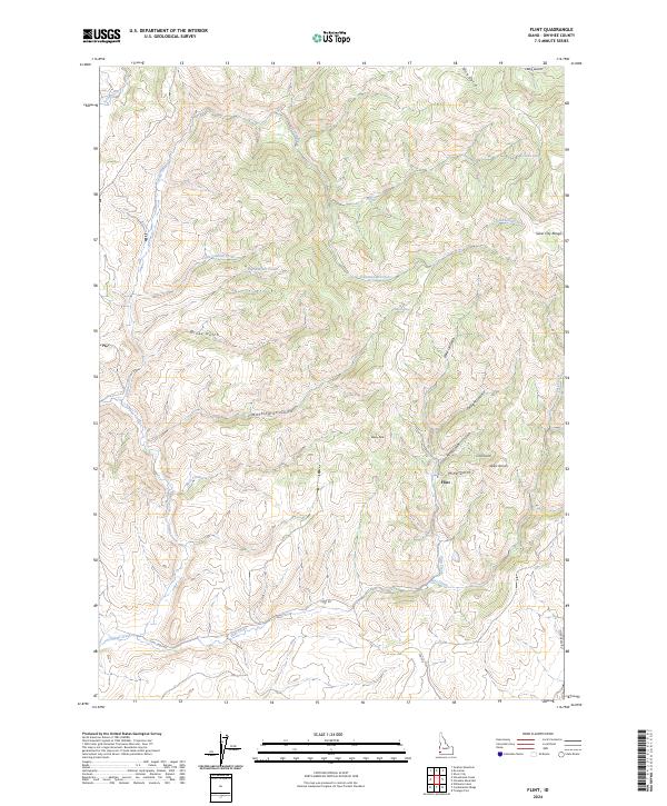
2024 Map of Flint
USGS Topo · Published 2024About this map
Flint occupies a central position within this high-elevation terrain of the Silver City Range in Owyhee County. The landscape is defined by an intricate network of drainages and peaks, including Dewey Peak and the Black Warrior ridge. Evidence of the region’s prospector history is etched into the topography through names like Mine Gulch, Astor Gulch, and Corral Gulch, which feed into Flint Creek.
Find a feature on this map
30 named features on this map. Tap any name to fly to it.
Don’t see what you’re looking for? This feature index may not catch every label — zoom into the map to look around manually.
Map Details
Editions of this 2024 Flint Map
This is the sole edition of this map. No revisions or reprints were ever made.
Other maps of this area

1892 · Silver City
USGS Topo · 1:125,000

1894 · Silver City
USGS Topo · 1:125,000

1898 · Silver City
USGS Topo · 1:125,000

1955 · Jordan Valley
USGS Topo · 1:250,000

1955 · Boise
USGS Topo · 1:250,000

1957 · Jordan Valley
USGS Topo · 1:250,000

1958 · Boise
USGS Topo · 1:250,000

1958 · Jordan Valley
USGS Topo · 1:250,000

1962 · Boise
USGS Topo · 1:250,000

1965 · Triangle
USGS Topo · 1:62,500