Loading...
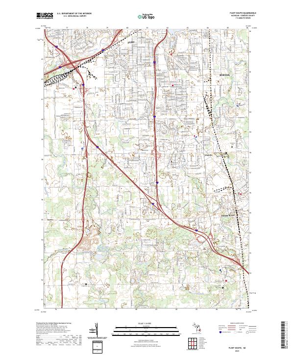
Loading map...2023 Map of Flint South
USGS Topo · Published 2023About this map
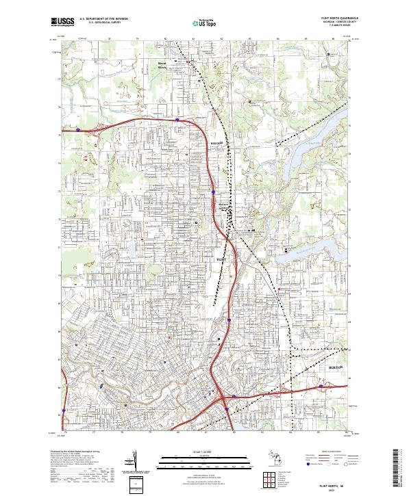
Bishop International Airport serves as a prominent landmark in this Genesee County landscape, which transitions from the urban southern reaches of Flint and Burton into the residential and agricultural stretches of Grand Blanc. The map details a complex network of waterways, including the winding Swartz Creek and Carman Creek, which define the local drainage patterns alongside established drains like Brewer Drain and Hewitt Drain.
Find a feature on this map
42 named features on this map. Tap any name to fly to it.
Don’t see what you’re looking for? This feature index may not catch every label — zoom into the map to look around manually.
Map Details
Date Portrayed2023
Date Published2023
PublisherU.S. Geological Survey
Map TypeTopographic
Scale1:24000
Physical Dimensions24 x 29 inches
Editions of this 2023 Flint South Map
This is the sole edition of this map. No revisions or reprints were ever made.
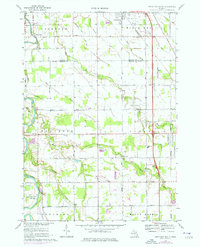
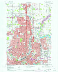
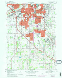
Historical Maps of Flint Charter Township Through Time
6 maps found
Featured Locations
Source Details
SourceU.S. Geological Survey
CopyrightPublic Domain