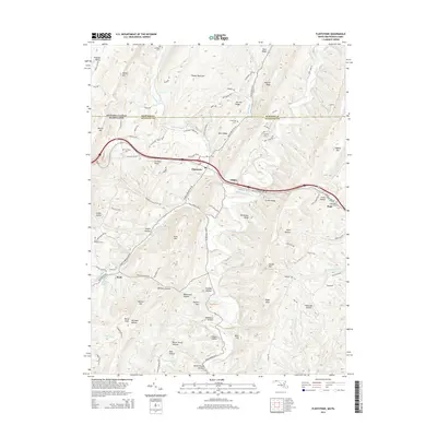
2014 Map of Flintstone
USGS Topo · Published 2014About this map
Flintstone and the surrounding Allegany County landscape sit at a historic crossroads where National Pike NE cuts through the ridges of the Appalachian Mountains. The terrain is defined by a series of parallel heights, including Tussey Mountain, Polish Mtn, and Warrior Ridge, which channel the flow of Town Creek and its many tributaries like Flintstone Cr and Murley Br.
Find a feature on this map
94 named features on this map. Tap any name to fly to it.
Don’t see what you’re looking for? This feature index may not catch every label — zoom into the map to look around manually.
Map Details
Editions of this 2014 Flintstone Map
This is the sole edition of this map. No revisions or reprints were ever made.
Other maps of this area

1898 · Paw Paw
USGS Topo · 1:62,500

1899 · Flintstone
USGS Topo · 1:62,500

1900 · Pawpaw
USGS Topo · 1:62,500

1900 · Flintstone
USGS Topo · 1:62,500

1910 · Paw Paw
USGS Topo · 1:62,500

1927 · Clearville
USGS Topo · 1:48,000

1927 · Hyndman
USGS Topo · 1:62,500

1931 · Clearville
USGS Topo · 1:62,500

1931 · Hyndman
USGS Topo · 1:62,500

1944 · Hyndman
USGS Topo · 1:62,500