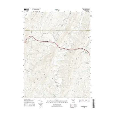
2016 Map of Flintstone
USGS Topo · Published 2016About this map
Tussey Mountain and Martin Mtn define the corrugated topography of the Maryland-Pennsylvania border, where the historic National Pike (now Route 40) cuts through the gaps of the Ridge and Valley Province. This mid-2010s survey captures the area around Flintstone, a settlement defined by its position along Town Creek and the surrounding high ridges. The map is a valuable resource for genealogical research, detailing numerous small family and community burial sites including Rice-Wilson Family Cem, Browning Cem, and Robinette Cem near Pratt. The landscape is etched with hollows and knobs that reflect old land-use patterns, such as Milkhouse Hollow and Railroad Hollow. From the rural crossroads of Rush to the slopes of Polish Mtn, the map preserves the names of the winding forest roads and mountain gaps that have served Allegany County for generations.
Find a feature on this map
113 named features on this map. Tap any name to fly to it.
Don’t see what you’re looking for? This feature index may not catch every label — zoom into the map to look around manually.
Map Details
Editions of this 2016 Flintstone Map
This is the sole edition of this map. No revisions or reprints were ever made.
Other maps of this area

1898 · Paw Paw
USGS Topo · 1:62,500

1899 · Flintstone
USGS Topo · 1:62,500

1900 · Pawpaw
USGS Topo · 1:62,500

1900 · Flintstone
USGS Topo · 1:62,500

1910 · Paw Paw
USGS Topo · 1:62,500

1927 · Clearville
USGS Topo · 1:48,000

1927 · Hyndman
USGS Topo · 1:62,500

1931 · Clearville
USGS Topo · 1:62,500

1931 · Hyndman
USGS Topo · 1:62,500

1944 · Hyndman
USGS Topo · 1:62,500