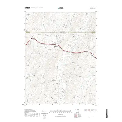
2019 Map of Flintstone
USGS Topo · Published 2019About this map
Town Creek carves a central path through this terrain at the Maryland-Pennsylvania border, anchoring a landscape where narrow valleys are defined by the parallel ridges of Martin Mtn and Polish Mtn. The village of Flintstone serves as a local hub along the National Pike, while smaller clusters like Gilpin and Pratt sit nestled within the folds of Green Ridge and Whittaker Ridge. Local history is deeply etched into the topography through numerous family-named burial sites, including the Rice Wilson Family Cem and the Robinette Cem. The transport network reveals how early routes adapted to the north-south alignment of the Appalachians, with roads like Black Valley Rd following the natural contours between Iron Ore Ridge and Buck Ridge, providing a clear record of the area's rural settlement patterns and ancestral landholdings.
Find a feature on this map
118 named features on this map. Tap any name to fly to it.
Don’t see what you’re looking for? This feature index may not catch every label — zoom into the map to look around manually.
Map Details
Editions of this 2019 Flintstone Map
This is the sole edition of this map. No revisions or reprints were ever made.
Other maps of this area

1898 · Paw Paw
USGS Topo · 1:62,500

1899 · Flintstone
USGS Topo · 1:62,500

1900 · Pawpaw
USGS Topo · 1:62,500

1900 · Flintstone
USGS Topo · 1:62,500

1910 · Paw Paw
USGS Topo · 1:62,500

1927 · Clearville
USGS Topo · 1:48,000

1927 · Hyndman
USGS Topo · 1:62,500

1931 · Clearville
USGS Topo · 1:62,500

1931 · Hyndman
USGS Topo · 1:62,500

1944 · Hyndman
USGS Topo · 1:62,500