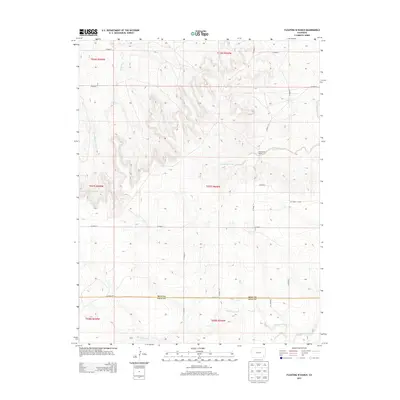
2013 Map of Floating W Ranch
USGS Topo · Published 2013About this map
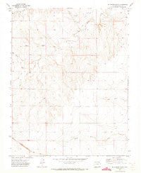
Mud Creek and Little Angry Creek carve through the high plains at the boundary of southeastern Colorado. This 2013 survey of the borderlands between Bent Co and Baca Co reveals a landscape defined by ranching and an intricate network of county roads. The namesake Floating W Ranch serves as a primary landmark in a region where water sources like West Clay Creek and Maverick Creek dictate the layout of the land. The map highlights the transition between the rolling prairie and the rugged drainage systems that feed into Two Butte Creek further south. For researchers, the survey provides a precise look at modern land divisions and the placement of rural infrastructure along routes like Co Road XX and Co Road 35.
Find a feature on this map
26 named features on this map. Tap any name to fly to it.
Don’t see what you’re looking for? This feature index may not catch every label — zoom into the map to look around manually.
Map Details
Editions of this 2013 Floating W Ranch Map
This is the sole edition of this map. No revisions or reprints were ever made.
Other maps of this area

1892 · Two Butte
USGS Topo · 1:125,000

1893 · Two Butte
USGS Topo · 1:125,000

1955 · La Junta
USGS Topo · 1:250,000

1958 · La Junta
USGS Topo · 1:250,000

1967 · Hand Springs
USGS Topo · 1:24,000

1968 · La Junta
USGS Topo · 1:250,000
1968 · Dripping Spring
USGS Topo · 1:24,000
1968 · Cat Creek
USGS Topo · 1:24,000
1971 · Big Rock Grange
USGS Topo · 1:24,000
1971 · Mc Endree Ranch
USGS Topo · 1:24,000