2022 Map of Florence
USGS Topo · Published 2022About this map
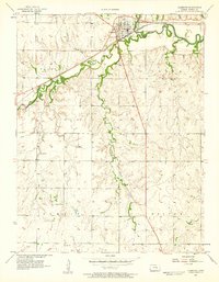
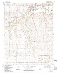
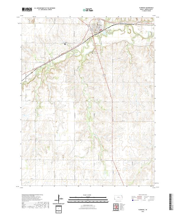
Florence anchors the northern reaches of this Marion County survey, situated where the Cottonwood River snakes through the Kansas landscape. The town's grid is detailed down to local thoroughfares like Main St and Doyle St, reflecting its long-standing position as a regional hub. Outside the town center, the land is defined by a dense network of sectional roads and the presence of freshwater sources such as Crane Spring and Lee Spring, which likely served as vital points for early livestock and agriculture.
Find a feature on this map
34 named features on this map. Tap any name to fly to it.
Don’t see what you’re looking for? This feature index may not catch every label — zoom into the map to look around manually.
Map Details
Editions of this 2022 Florence Map
This is the sole edition of this map. No revisions or reprints were ever made.
Historical Maps of Florence Through Time
3 maps found