
1971 Map of Florey
USGS Topo · Published 1974About this map
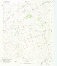
Means Oil Field and Mc Farland Oil Field define the industrial character of this Andrews County landscape during the early 1970s. The region is a dense network of energy infrastructure, with numerous pumping stations, substations, and pipelines supporting the extraction efforts across the Nolley Oil Field and Andrews North Oil Field. Settlement is sparse, concentrated at the community of Florey, which features the designated Old Florey Park, and the smaller locations of Gardner and Goon.
Find a feature on this map
17 named features on this map. Tap any name to fly to it.
Don’t see what you’re looking for? This feature index may not catch every label — zoom into the map to look around manually.
Map Details
Editions of this 1971 Florey Map
This is the sole edition of this map. No revisions or reprints were ever made.
Other maps of this area

1954 · Hobbs
USGS Topo · 1:250,000

1958 · Hobbs
USGS Topo · 1:250,000

1963 · Andrews
USGS Topo · 1:24,000

1969 · Seminole SW
USGS Topo · 1:24,000

1970 · Cedar Point Ranch
USGS Topo · 1:24,000

1970 · Seminole SE
USGS Topo · 1:24,000

1971 · Five Wells Ranch NW
USGS Topo · 1:24,000
1971 · Five Wells Ranch SW
USGS Topo · 1:24,000

1971 · Shafter Lake
USGS Topo · 1:24,000
1971 · Lazy X Ranch
USGS Topo · 1:24,000