
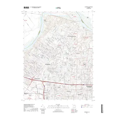
Loading...
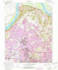
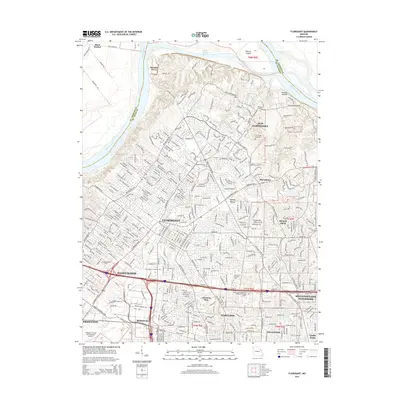
Loading map...1935 Map of Florissant
USGS Topo · Published 1935About this map
The Florissant valley and the meandering Missouri River define this 1930s landscape in northern St. Louis County. This map documents a critical period of infrastructure development, featuring the Lambert St Louis Landing Field and the early alignment of the Lindbergh Highway. The interior is dotted with rural educational and religious foundations, including the St Stanislaus Seminary and several neighborhood schools like Coldwater School and Hyatt Valley School.
Find a feature on this map
48 named features on this map. Tap any name to fly to it.
Don’t see what you’re looking for? This feature index may not catch every label — zoom into the map to look around manually.
Map Details
Date Portrayed1935
Date Published1935
PublisherU.S. Geological Survey
Map TypeTopographic
Scale1:24,000
Physical Dimensions21 x 28.3 inches
Editions of this 1935 Florissant Map
This is the sole edition of this map. No revisions or reprints were ever made.
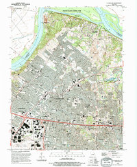
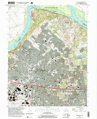
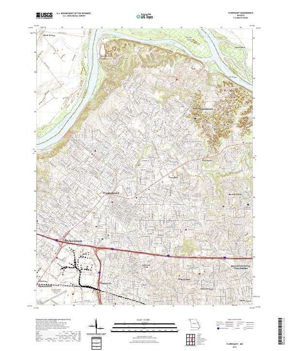
Historical Maps of Florissant Through Time
8 maps found
Featured Locations
Source Details
SourceU.S. Geological Survey
CopyrightPublic Domain