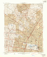
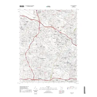
1933 Map of Clayton
USGS Topo · Published 1933About this map
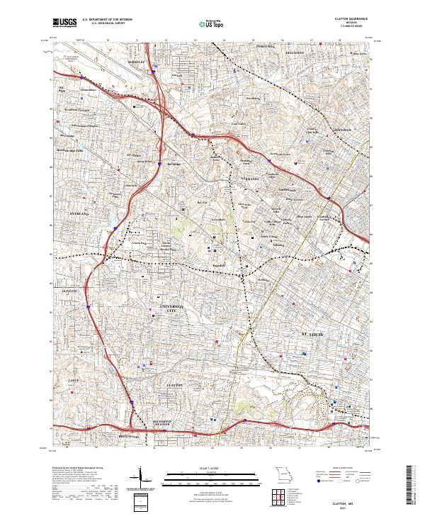
Lambert St Louis Airport anchors the northwest corner of this suburban landscape, reflecting the era's rapid aviation growth in St. Louis County. The map details a dense network of residential subdivisions and institutional grounds, including the Norwood Country Club and Glen Echo Country Club, interspersed with older established areas like Kinloch Park and University City. These communities are threaded together by major transit arteries such as the Wabash Railroad and Chicago Rock Island and Pacific Railroad.
Find a feature on this map
48 named features on this map. Tap any name to fly to it.
Don’t see what you’re looking for? This feature index may not catch every label — zoom into the map to look around manually.
Map Details
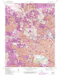
Editions of this 1933 Clayton Map
This is the sole edition of this map. No revisions or reprints were ever made.
Historical Maps of University City Through Time
7 maps found