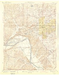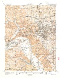
1933 Map of Kirkwood
USGS Topo · Published 1933About this map
The Meramec River carves a sharp, winding path through this 1933 survey, defining the industrial and recreational landscape of western St. Louis County. The area is a dense network of suburban development and specialized institutions, including Hartman College, St Joseph College, and the Maryhurst Normal School. Transportation is the primary driver of growth here, with the Missouri Pacific RR and St Louis-San Francisco RR converging near Valley Park, while the Manchester Highway and Watson Road push through the rolling terrain toward the county line.
Find a feature on this map
46 named features on this map. Tap any name to fly to it.
Don’t see what you’re looking for? This feature index may not catch every label — zoom into the map to look around manually.
Map Details
Editions of this 1933 Kirkwood Map
This is the sole edition of this map. No revisions or reprints were ever made.
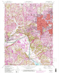
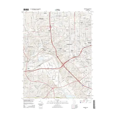
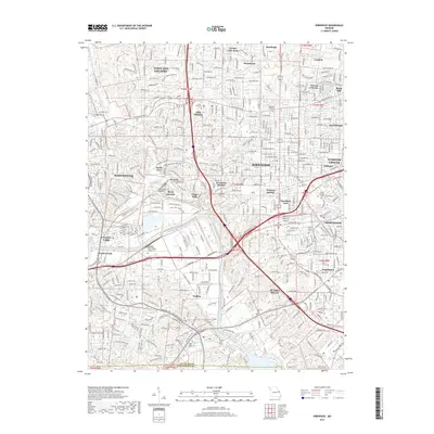
Historical Maps of Kirkwood Through Time
7 maps found