Loading...
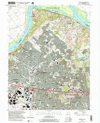
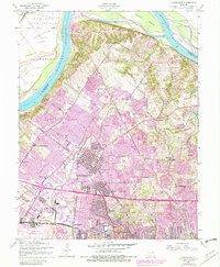
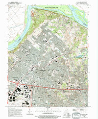
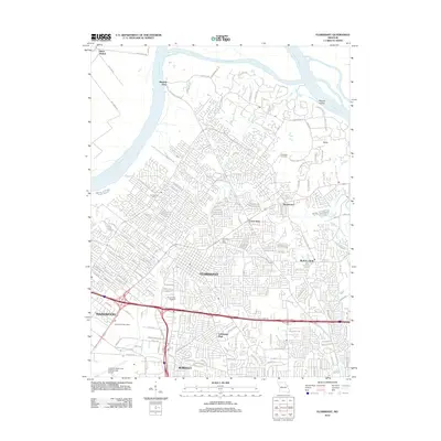
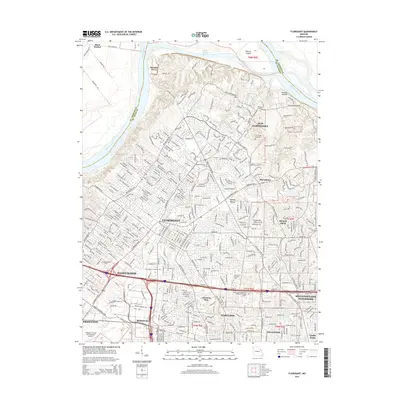
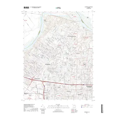
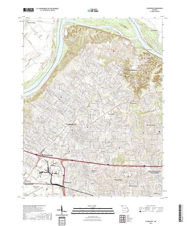
Loading map...1998 Map of Florissant
USGS Topo · Published 1999About this map
The Missouri River and its northern floodplain define the landscape north of St. Louis, where suburban expansion meets the winding river geography of Pelican Island. The map illustrates a dense network of post-war residential development throughout Florissant and Hazelwood, interspersed with established institutional landmarks like the St Josephs Convent of Mercy and the sprawling grounds of Lambert St Louis International Airport to the south.
Find a feature on this map
83 named features on this map. Tap any name to fly to it.
Don’t see what you’re looking for? This feature index may not catch every label — zoom into the map to look around manually.
Map Details
Date Portrayed1998
Date Published1999
PublisherU.S. Geological Survey
Map TypeTopographic
Scale1:24,000
Physical Dimensions21.9 x 26.8 inches
Editions of this 1998 Florissant Map
This is the sole edition of this map. No revisions or reprints were ever made.
Historical Maps of Florissant Through Time
8 maps found

Featured Locations
Source Details
SourceU.S. Geological Survey
CopyrightPublic Domain