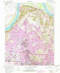
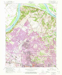
1954 Map of Florissant
USGS Topo · Published 1982About this map
Florissant and its neighboring communities of Berkeley and Ferguson are captured here during a period of massive suburban transition in northern St. Louis County. The map details the dense residential expansion over former agricultural lands, though several religious and educational institutions remain as landmarks, including the St Stanislaus Seminary, St Josephs Convent of Mercy, and Our Lady of Fatima Sch. The southern edge is dominated by the sprawling infrastructure of the Lambert-St Louis International Airport, illustrating the region's role as a major aviation hub.
Find a feature on this map
40 named features on this map. Tap any name to fly to it.
Don’t see what you’re looking for? This feature index may not catch every label — zoom into the map to look around manually.
Map Details
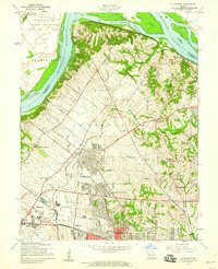
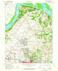
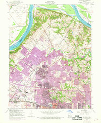
Editions of this 1954 Florissant Map
5 editions found
Other maps of this area

1888 · St. Louis
USGS Topo · 1:62,500

1924 · Robertson
USGS Topo · 1:24,000

1927 · Alton
USGS Topo · 1:62,500

1927 · St. Charles
USGS Topo · 1:62,500

1933 · Creve Coeur
USGS Topo · 1:24,000

1933 · Granite City
USGS Topo · 1:24,000

1933 · Clayton
USGS Topo · 1:24,000

1933 · Saint Charles
USGS Topo · 1:62,500

1934 · Alton
USGS Topo · 1:62,500

1935 · Granite City
USGS Topo · 1:24,000