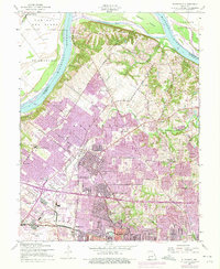
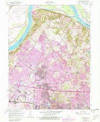
1954 Map of Florissant
USGS Topo · Published 1975About this map
The Missouri River forms the northern boundary of this landscape, where the alluvial plain of Portage Des Sioux meets the rising suburban expansion of North St. Louis County. At the time of this survey, the area was undergoing rapid transformation, as indicated by the purple-tinted urban extensions around Florissant, Berkeley, and Ferguson. Significant religious and educational landmarks are visible, including the sprawling grounds of St Stanislaus Seminary and its associated cemetery, alongside local institutions like St Josephs Convent of Mercy.
Find a feature on this map
44 named features on this map. Tap any name to fly to it.
Don’t see what you’re looking for? This feature index may not catch every label — zoom into the map to look around manually.
Map Details
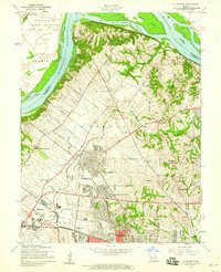
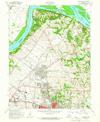
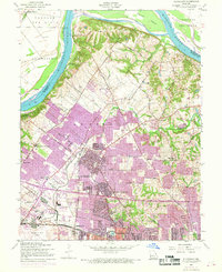
Editions of this 1954 Florissant Map
5 editions found
Other maps of this area

1888 · St. Louis
USGS Topo · 1:62,500

1924 · Robertson
USGS Topo · 1:24,000

1927 · Alton
USGS Topo · 1:62,500

1927 · St. Charles
USGS Topo · 1:62,500

1933 · Creve Coeur
USGS Topo · 1:24,000

1933 · Granite City
USGS Topo · 1:24,000

1933 · Clayton
USGS Topo · 1:24,000

1933 · Saint Charles
USGS Topo · 1:62,500

1934 · Alton
USGS Topo · 1:62,500

1935 · Granite City
USGS Topo · 1:24,000