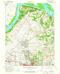
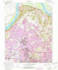
1954 Map of Florissant
USGS Topo · Published 1965About this map
The Missouri River and the northern reaches of St. Louis County define this mid-century landscape, where suburban growth began to meet historic riverfront bottomlands. The town of Florissant serves as the central hub, surrounded by establishing neighborhoods like Calverton Park, Ferguson, and Berkeley. Along the river, the Car of Commerce Chute and Pelican Island showcase the natural hydrology of the Portage des Sioux region before modern levee and development projects further altered the shoreline.
Find a feature on this map
49 named features on this map. Tap any name to fly to it.
Don’t see what you’re looking for? This feature index may not catch every label — zoom into the map to look around manually.
Map Details
Editions of this 1954 Florissant Map
5 editions found
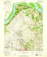
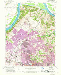
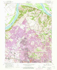
Other maps of this area

1888 · St. Louis
USGS Topo · 1:62,500

1924 · Robertson
USGS Topo · 1:24,000

1927 · Alton
USGS Topo · 1:62,500

1927 · St. Charles
USGS Topo · 1:62,500

1933 · Creve Coeur
USGS Topo · 1:24,000

1933 · Granite City
USGS Topo · 1:24,000

1933 · Clayton
USGS Topo · 1:24,000

1933 · Saint Charles
USGS Topo · 1:62,500

1934 · Alton
USGS Topo · 1:62,500

1935 · Granite City
USGS Topo · 1:24,000