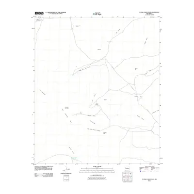
2010 Map of Flying W Mountain
USGS Topo · Published 2010About this map
Flying W Mountain and the southern extent of the Cedar Mountain Range dominate this high-desert landscape in Luna County. The map documents a topography defined by drainage networks, where numerous ephemeral watercourses like Sacaton Draw, Gap Draw, and Herman Draw carve through the basin. Ranching infrastructure is central to the area's layout, anchored by the Flying W Ranch and supported by a series of critical water catchments including Palomas Red Hill Dam, Gap Tank, and Bobs Tank. Notable summits such as Valiente Peak and Round Top provide distinct landmarks across the rangeland. The limited road network, consisting primarily of CC Road C002, underscores the remote character of this ranching country in the early twenty-first century.
Find a feature on this map
27 named features on this map. Tap any name to fly to it.
Don’t see what you’re looking for? This feature index may not catch every label — zoom into the map to look around manually.
Map Details
Editions of this 2010 Flying W Mountain Map
This is the sole edition of this map. No revisions or reprints were ever made.
Other maps of this area

1899 · Deming
USGS Topo · 1:125,000

1915 · Deming
USGS Topo · 1:125,000

1917 · Hermanas
USGS Topo · 1:62,500

1918 · Hermanas
USGS Topo · 1:62,500

1918 · Victorio
USGS Topo · 1:62,500

1943 · Hermanas
USGS Topo · 1:62,500

1953 · El Paso
USGS Topo · 1:250,000

1954 · Silver City
USGS Topo · 1:250,000

1955 · Douglas
USGS Topo · 1:250,000

1955 · Las Cruces
USGS Topo · 1:250,000